Road Trip Iceland 2016
Land of Ice and Fire
First Night - Day One - Day Two - Day Three - Day Four - Last Night
Flew from Manchester and arrived at Keflavik airport at around 21:30 then went to pick up our motor home.
Headed towards Reykiavik in search of shops and somewhere to park.
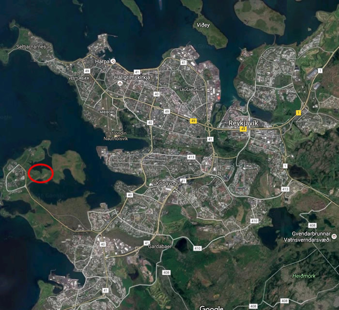
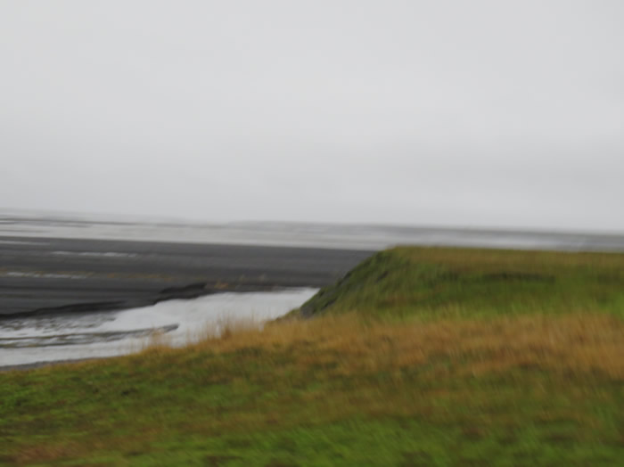
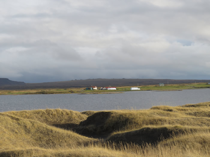
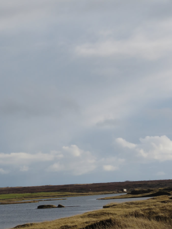
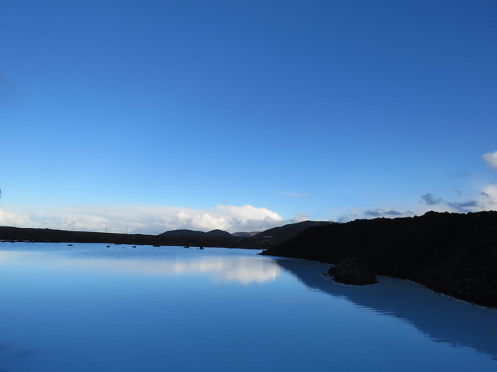
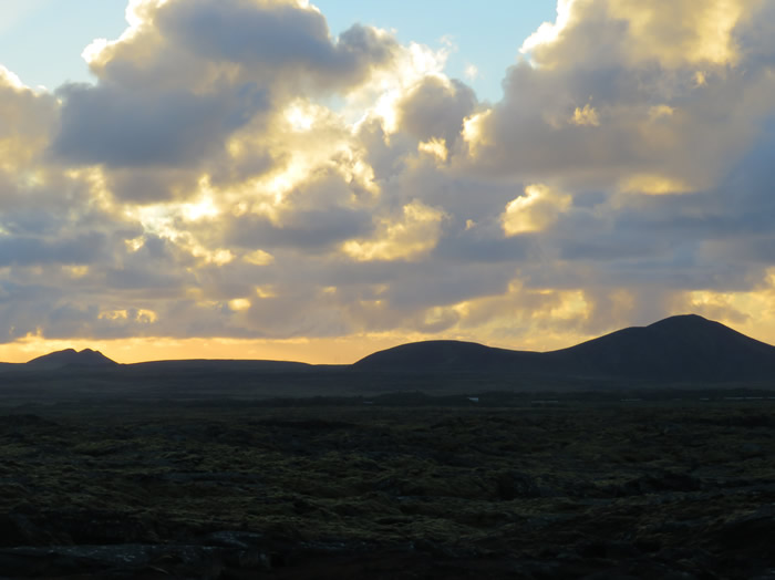
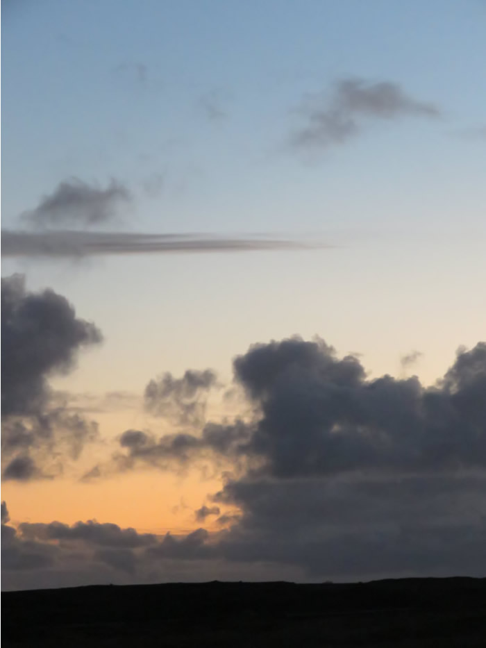
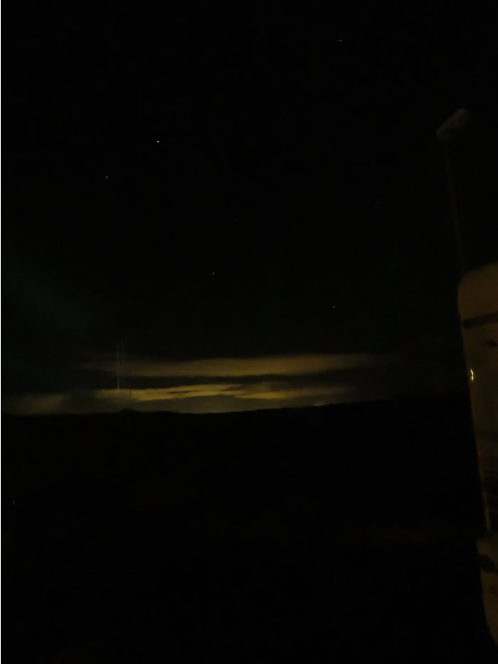
Parked up for the night on the peninsula - see map
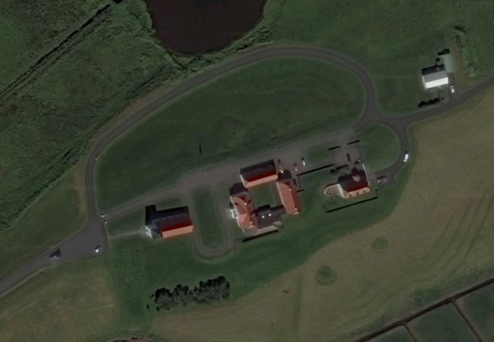
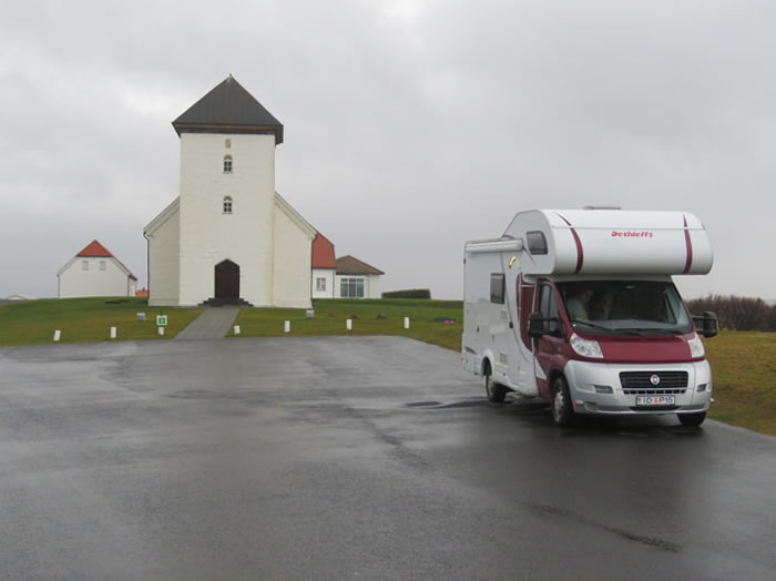
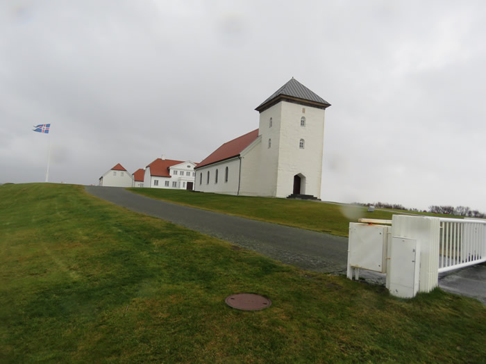
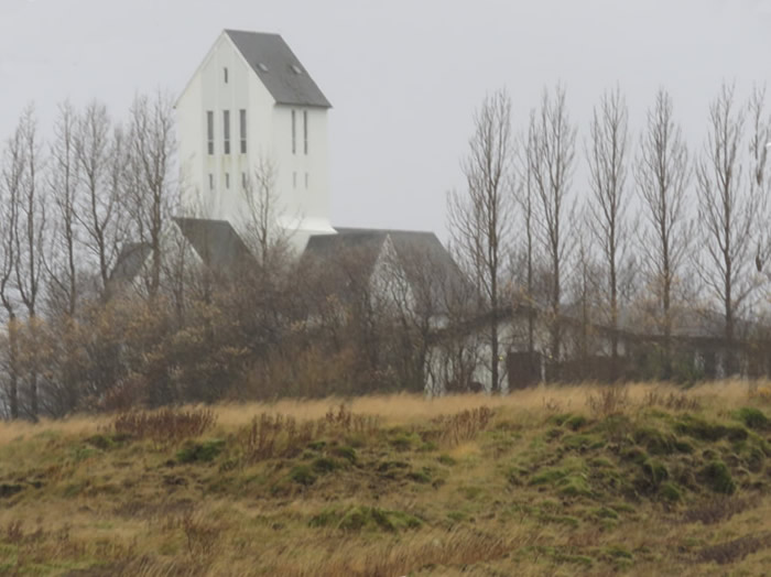
Bessastaðakirkja Icelandic church.
Little did we know that we stayed the night on the drive of the President of Iceland.
Bessastadir Presidents
residence behind the church.
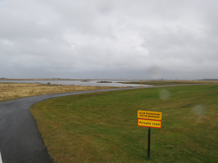
Private road to presidents house.
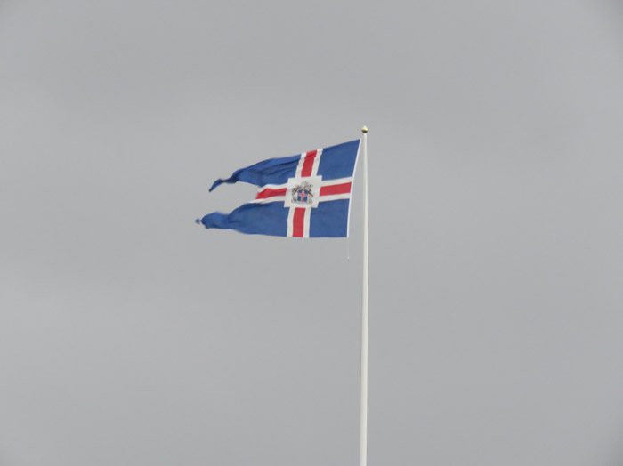
Presidents insignia
Reykjavik, on the coast of Iceland, is the country's capital and largest city.
It's home to the National and Saga museums, tracing Iceland’s Viking history.
The striking concrete Hallgrimskirkja church and rotating Perlan glass dome offer sweeping views of the sea and nearby hills.
Exemplifying the island’s volcanic activity is the geothermal Blue Lagoon spa, near the village of Grindavik.
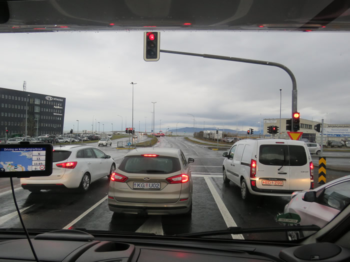
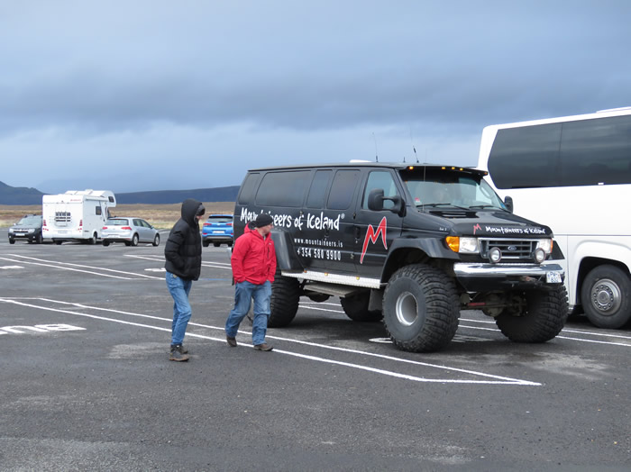
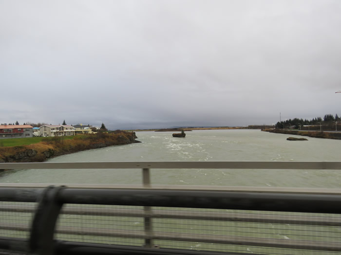
Driving through Reykjavik
Not the best place to find a parking bay for a motor home
Went shopping for breakfast.
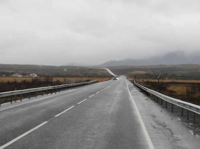
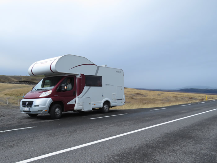
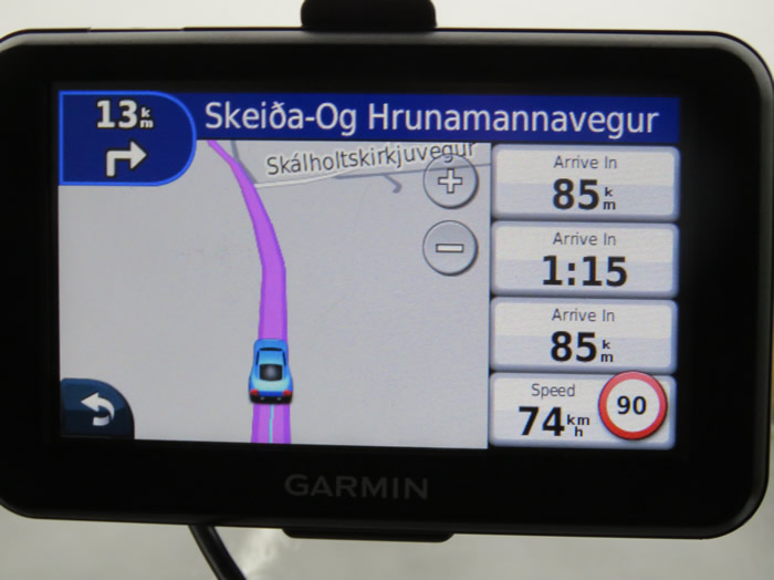
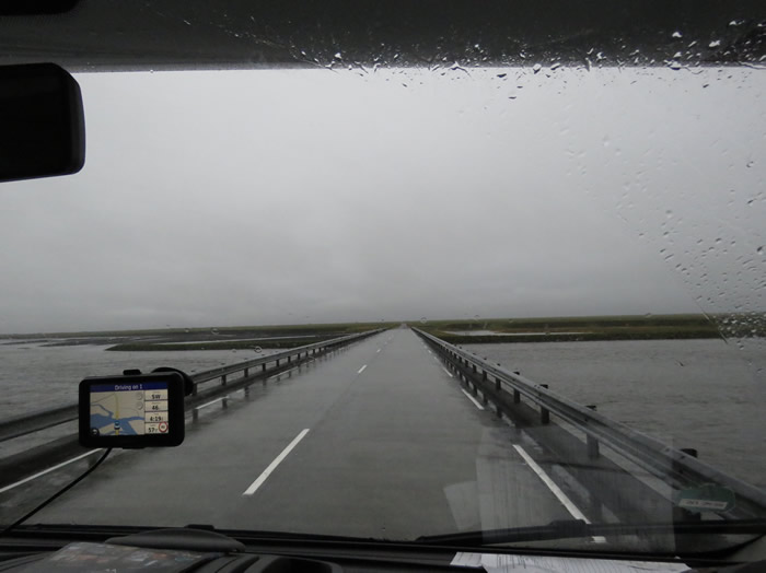
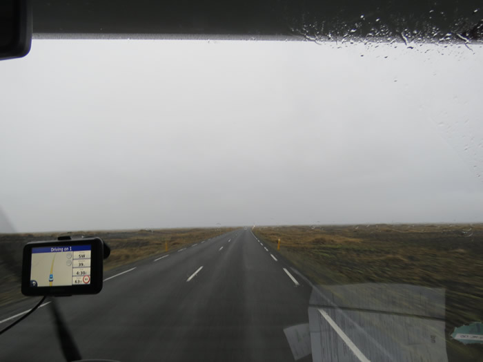
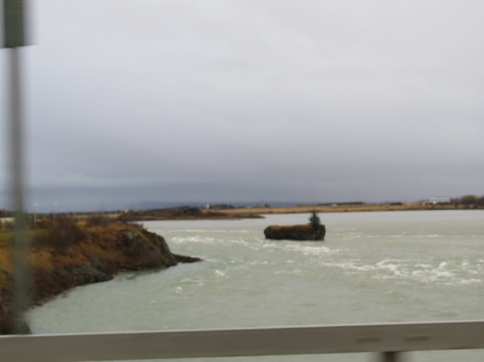
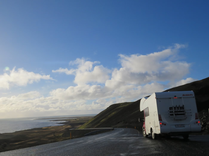
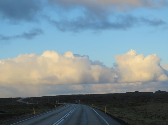
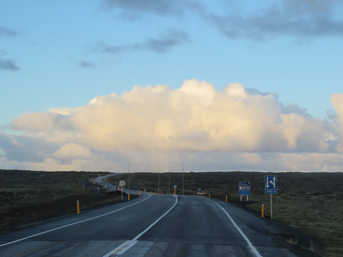
Route 1
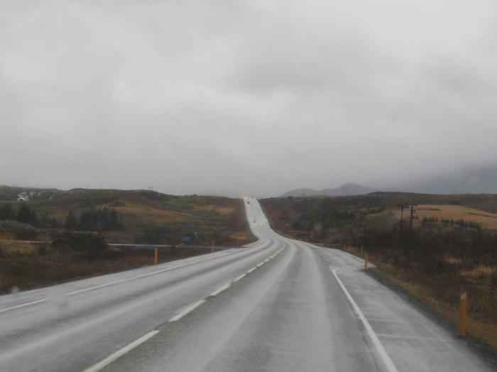
Route 1

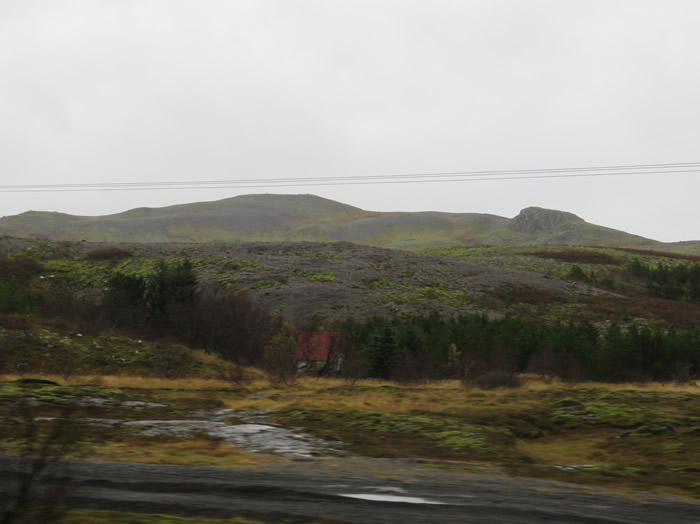
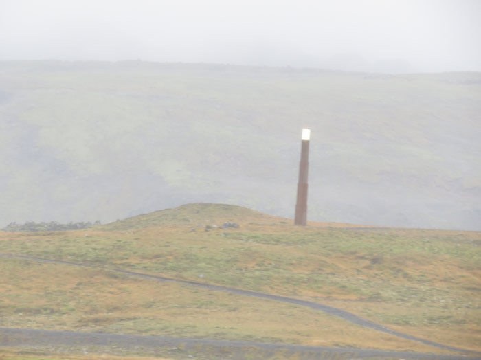
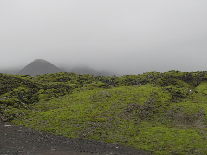
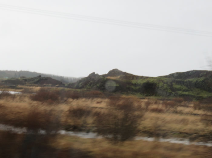
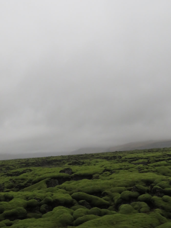
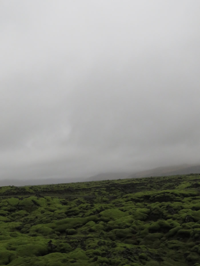
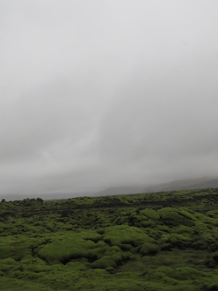
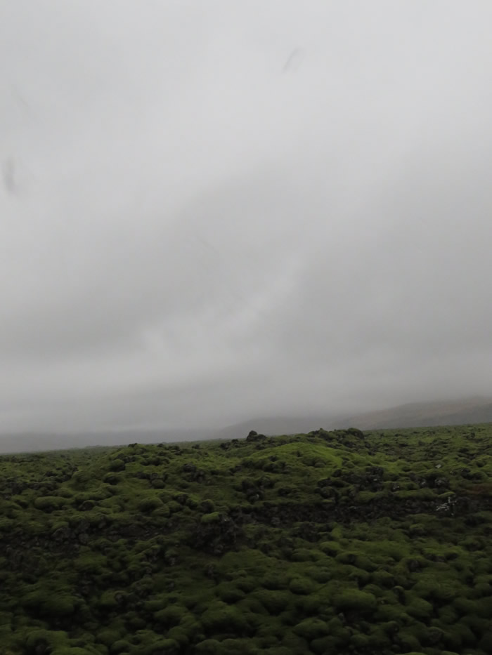
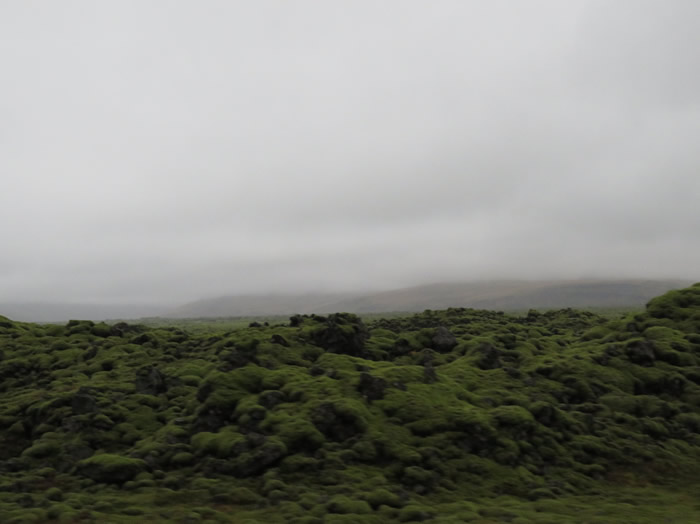
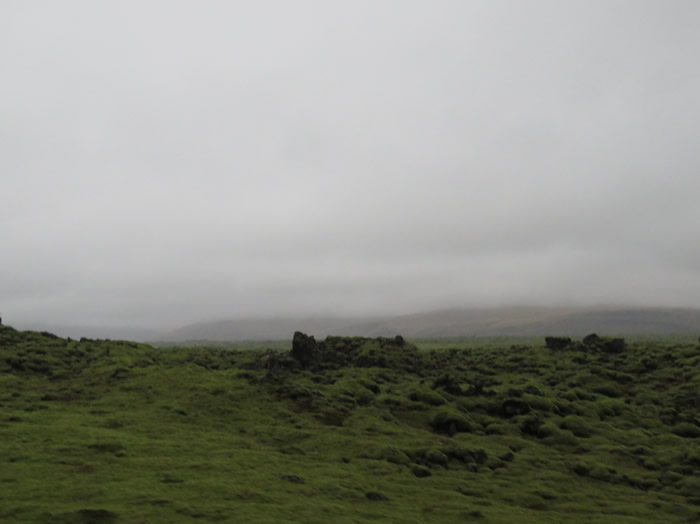
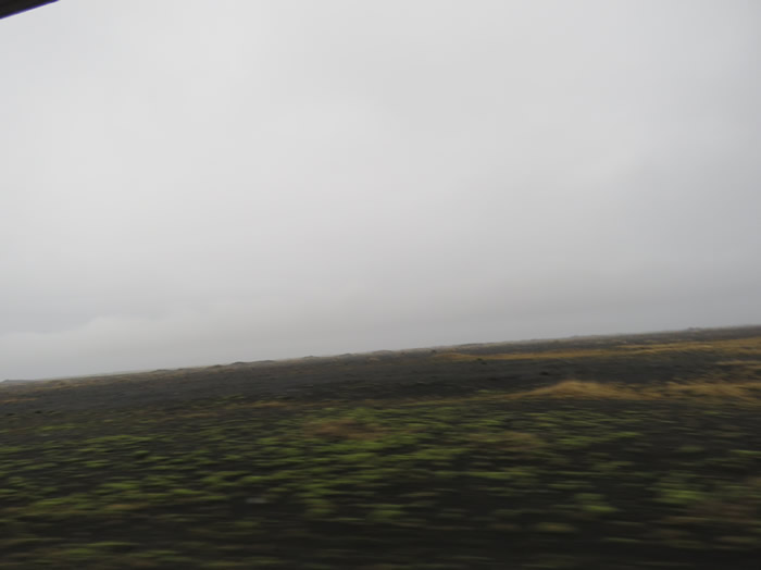
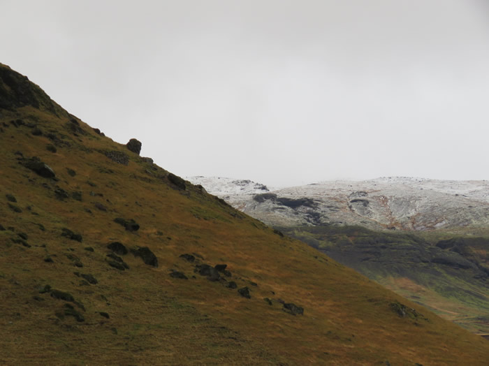
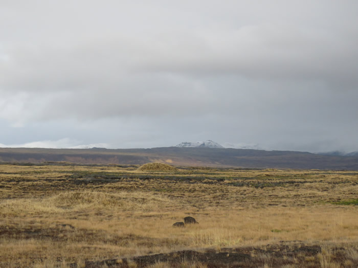
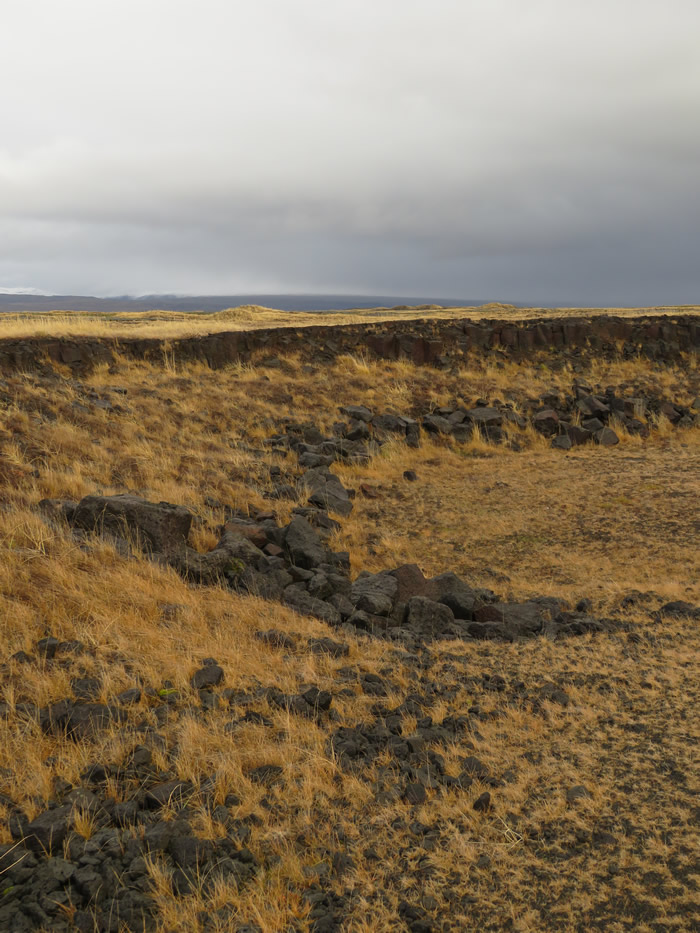
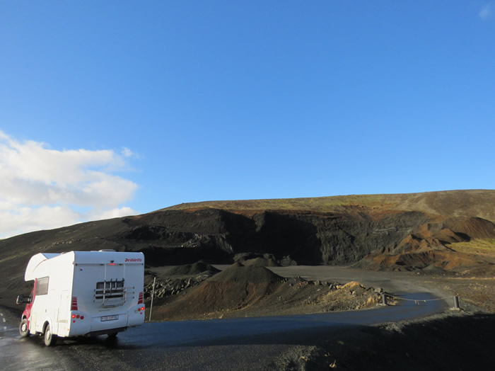
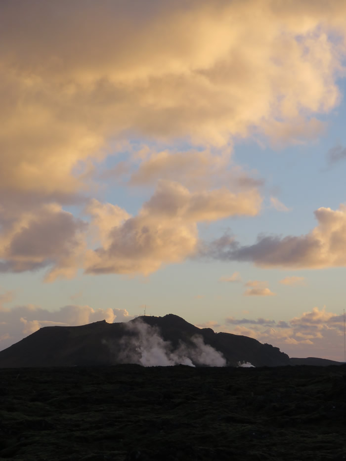
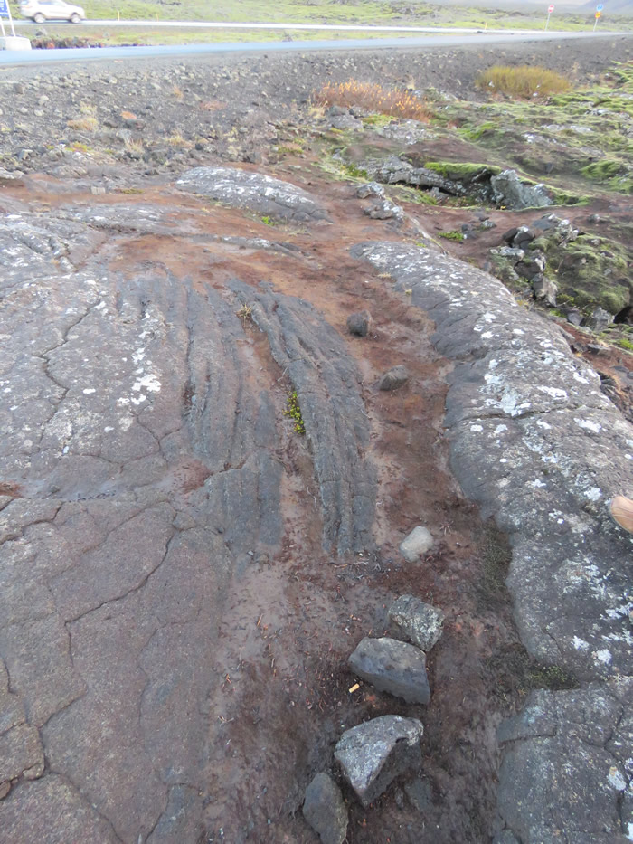
Volcanic landscape
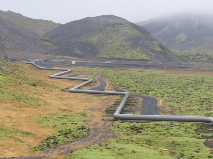
Geo thermal pipes to heat homes
View in Google Earth
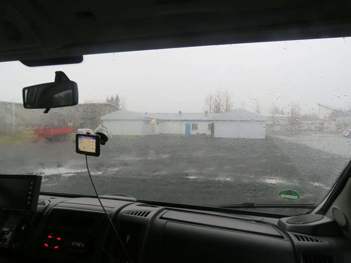
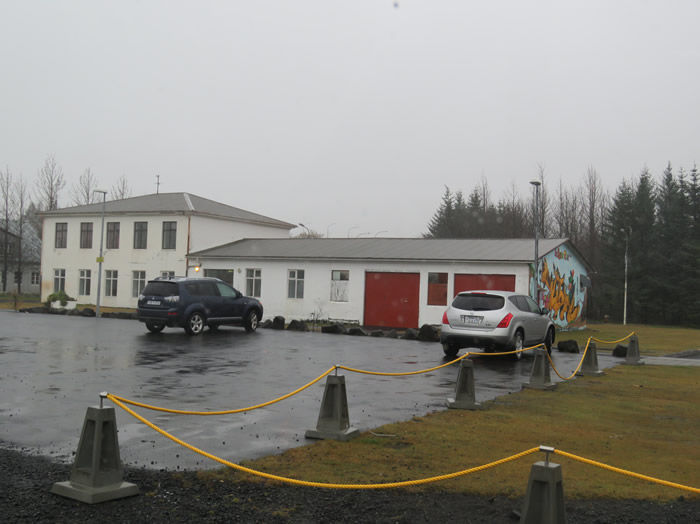
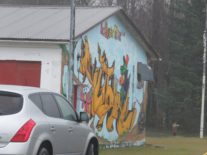
Stopped in Hveragerði to stretch our legs.
Hveragerði has long been one of Iceland’s most popular tourist destinations.
The reason is geothermal heat: the town is built above a hot-spring field, and derives its name from the Icelandic word for hot spring, hver.
Local school
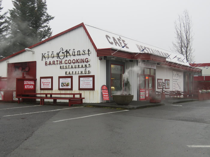
Cooking with geo thermal heat
View in Google Earth
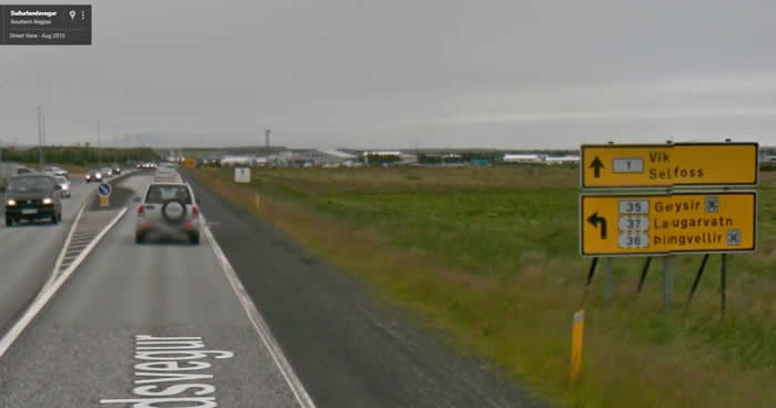
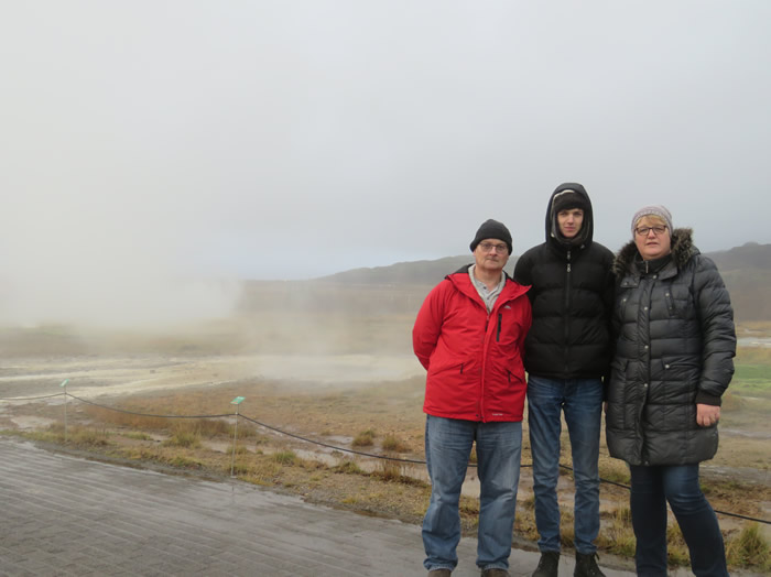
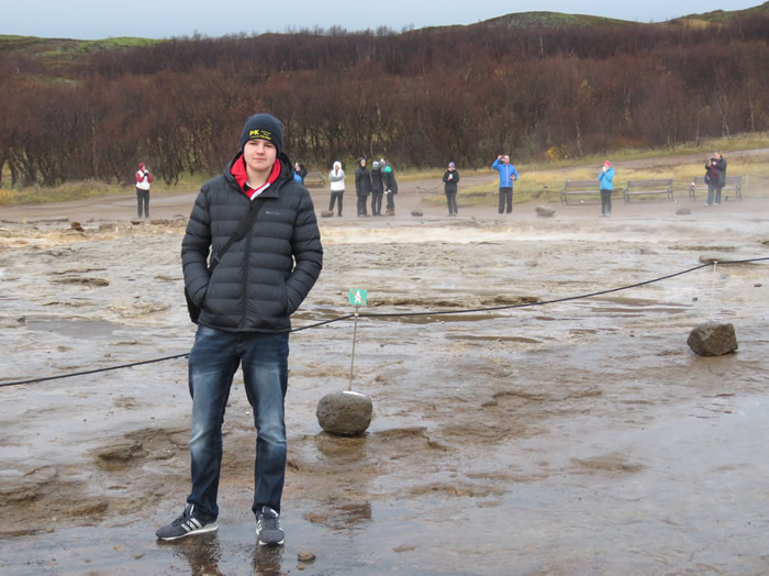
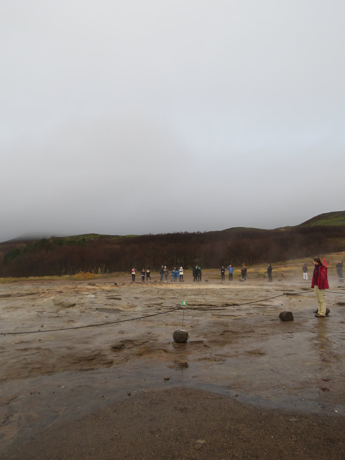
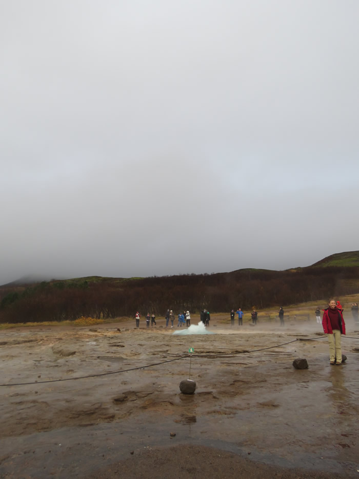
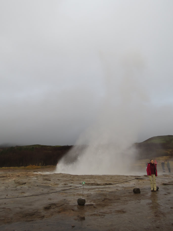
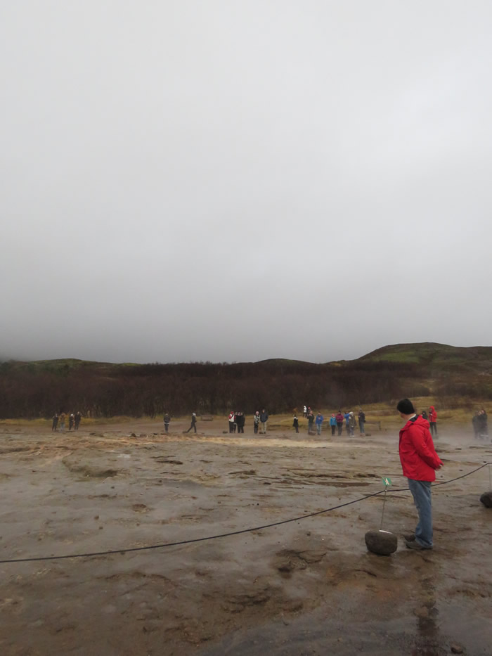
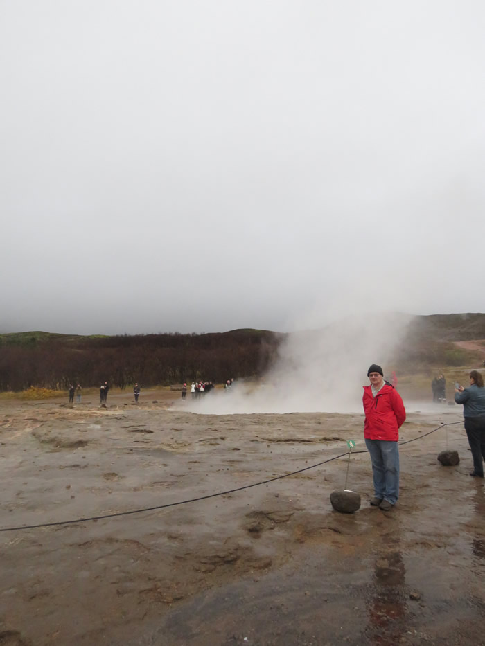
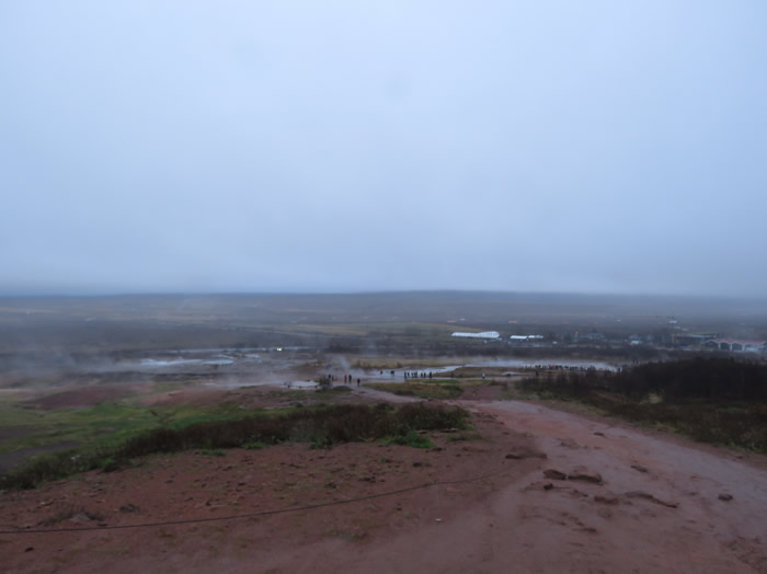
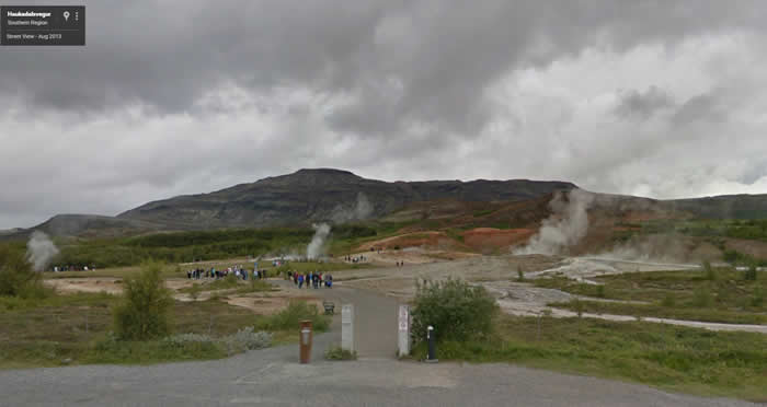
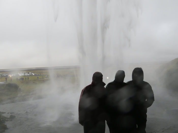
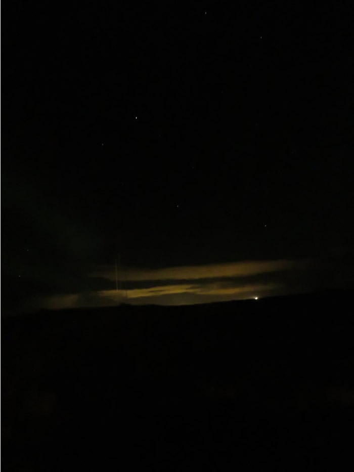
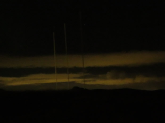
Route 1 then Route 35 to Geysir.
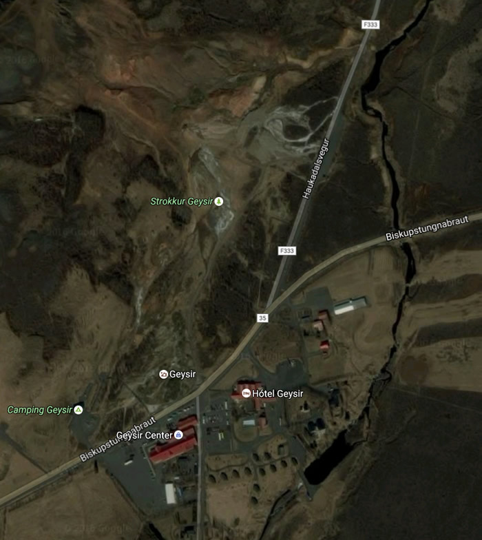
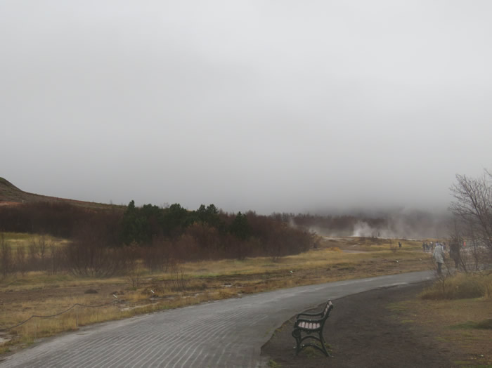
After visiting the Geysirs we parked up in the car park for the night.
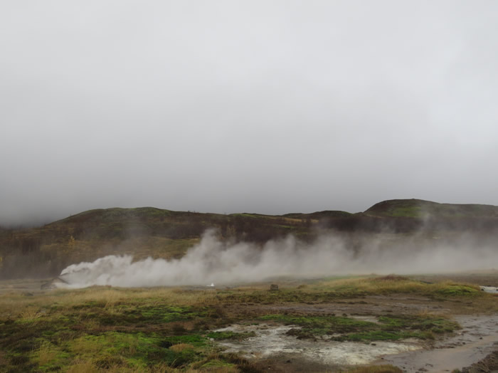
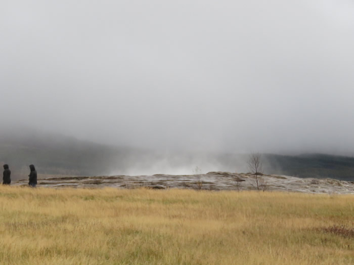
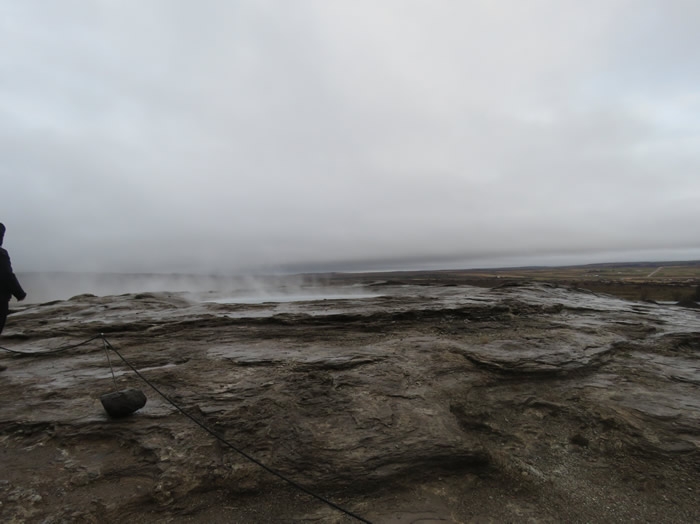
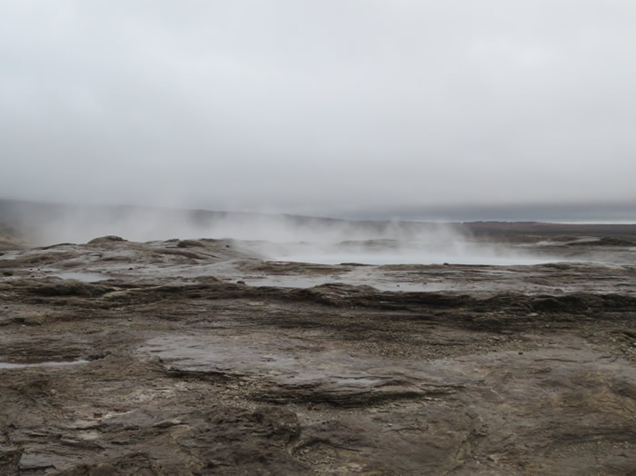
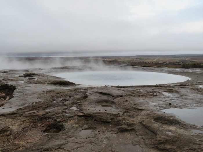
Geysir spouting steam and gas.
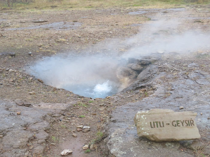
Litli - Geysir
Another Little Geysir
Something is a brewing.
Hot sulphur shower.
Bigger Geysir
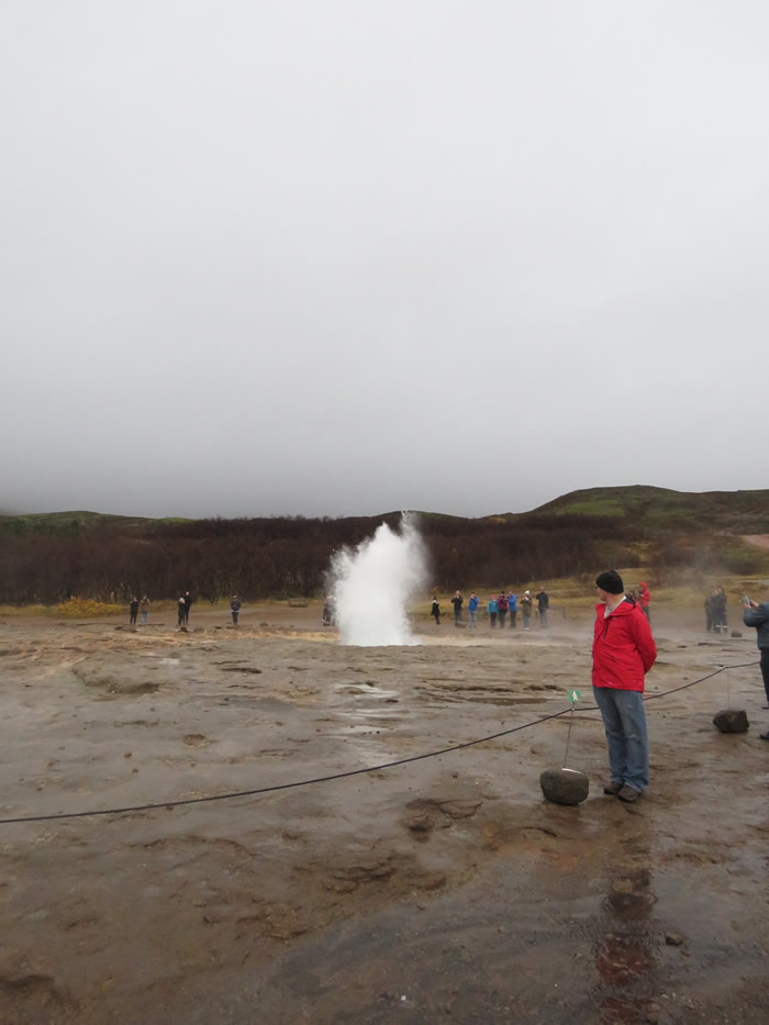
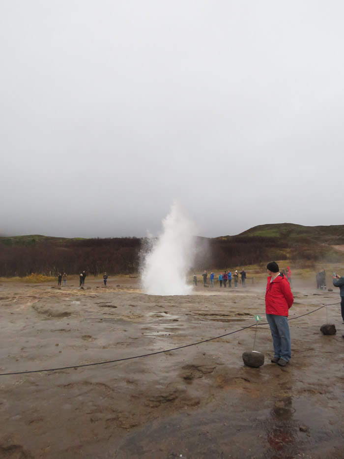
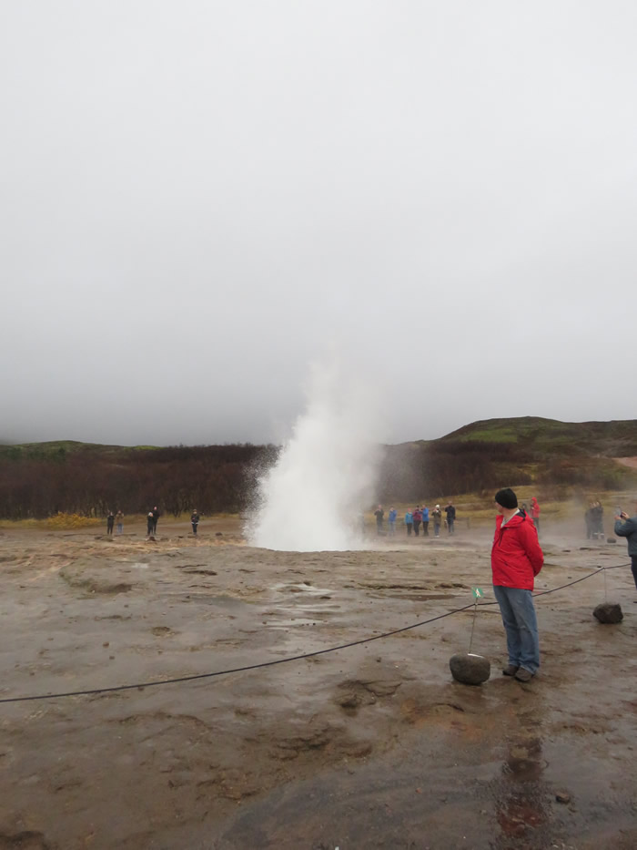
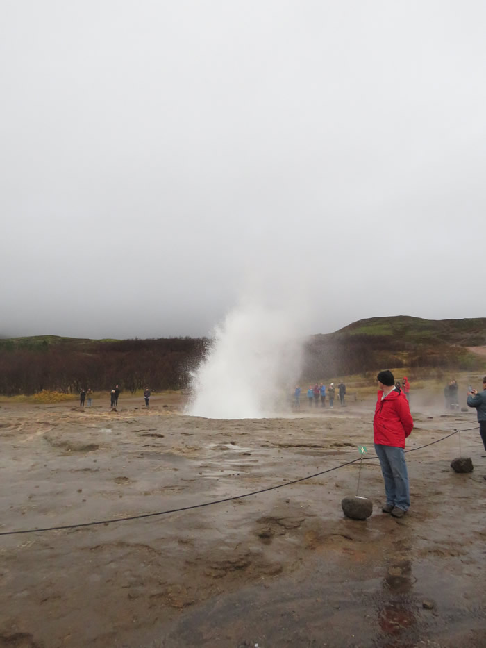
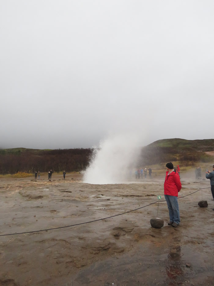
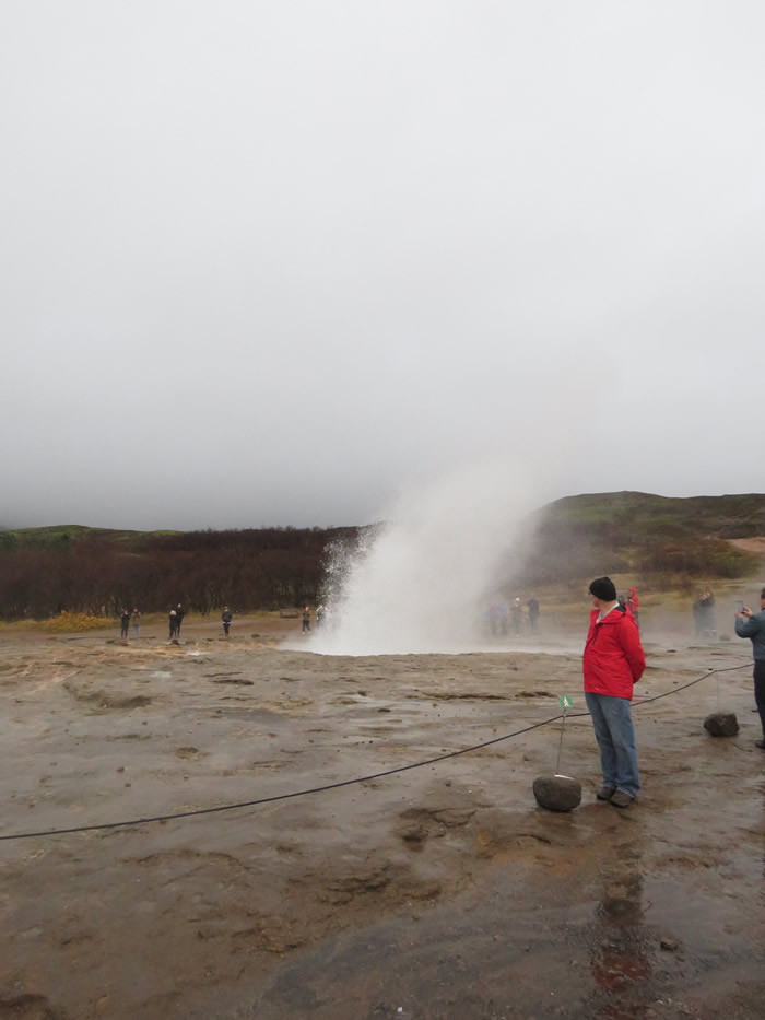
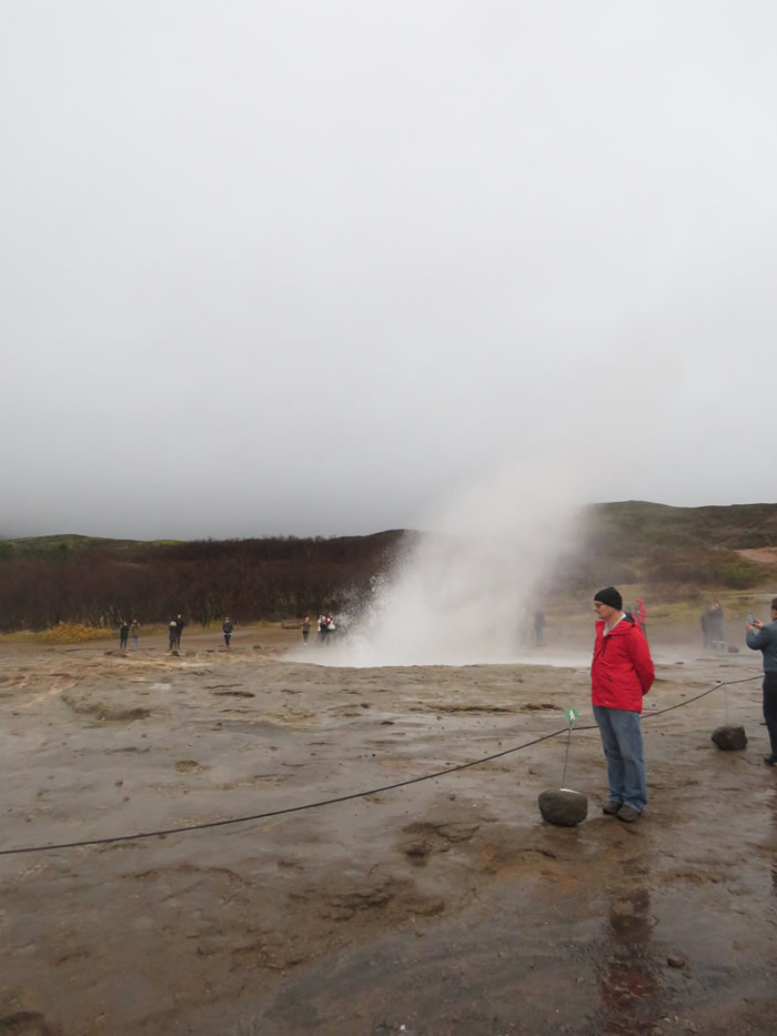
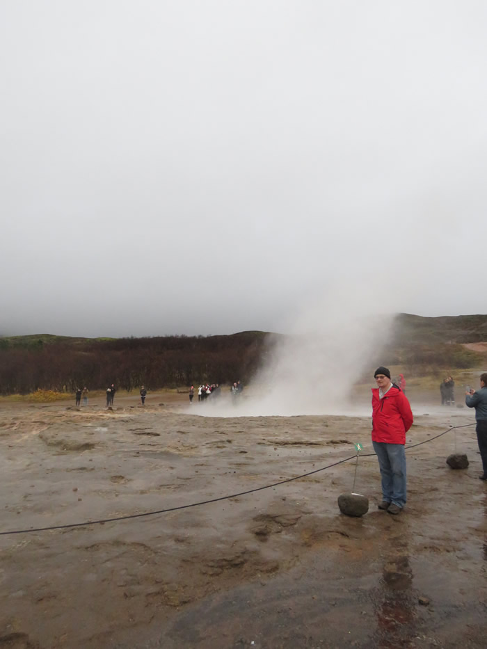
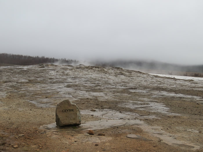
The main Geysir
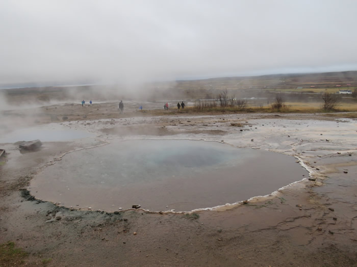
Hot tub anyone ?
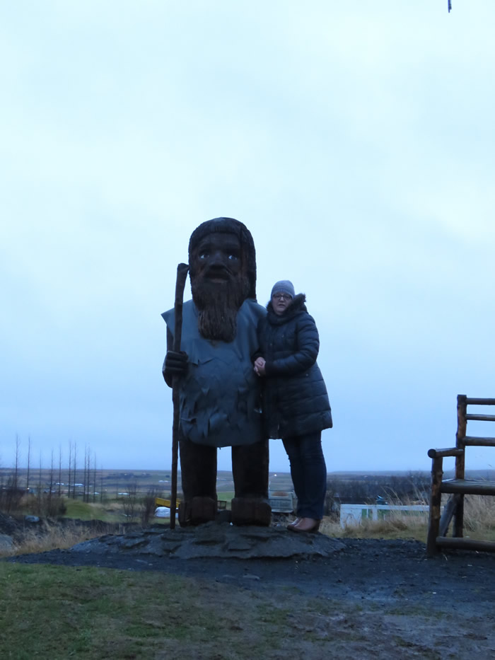
Gaenor found a new friend
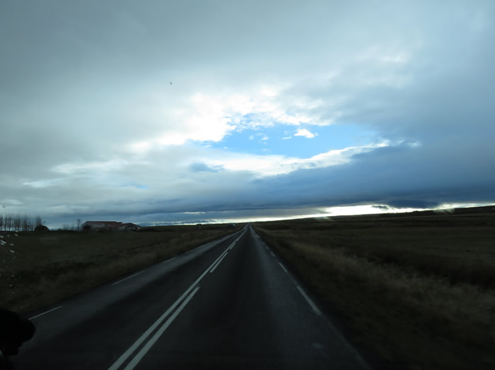
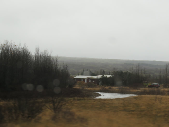
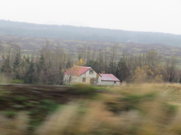
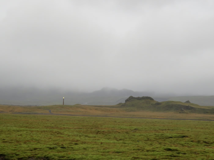
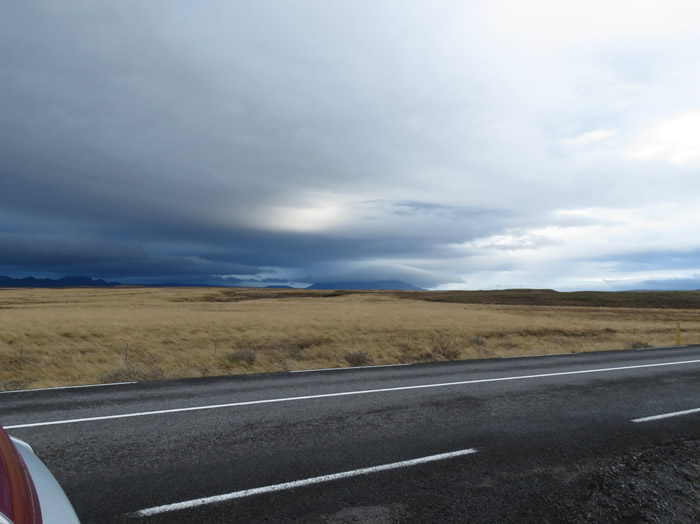
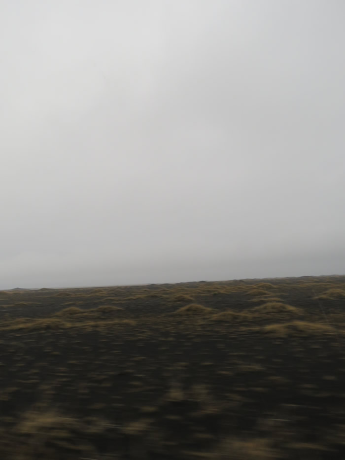
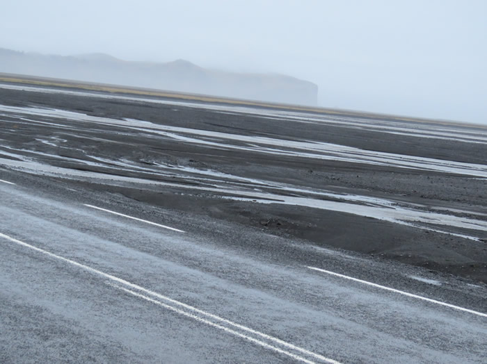
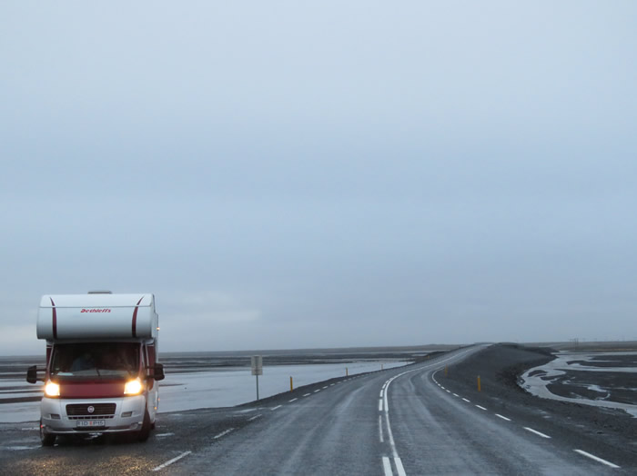
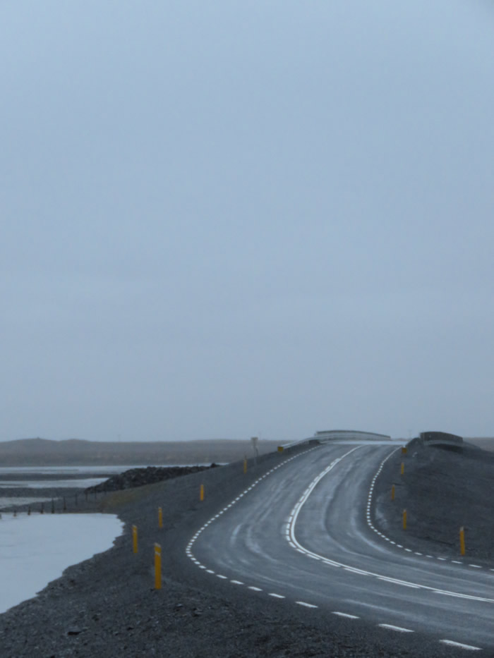
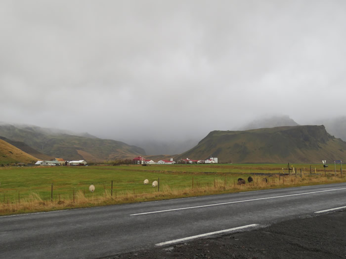
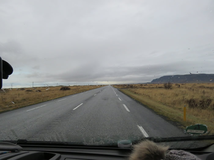
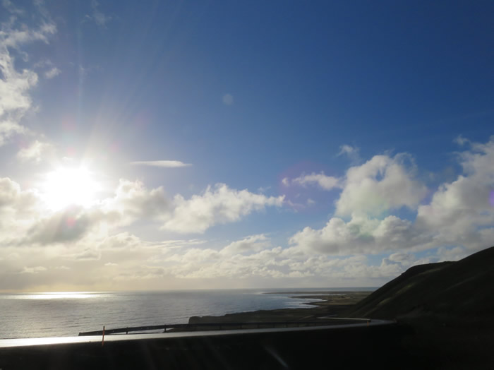
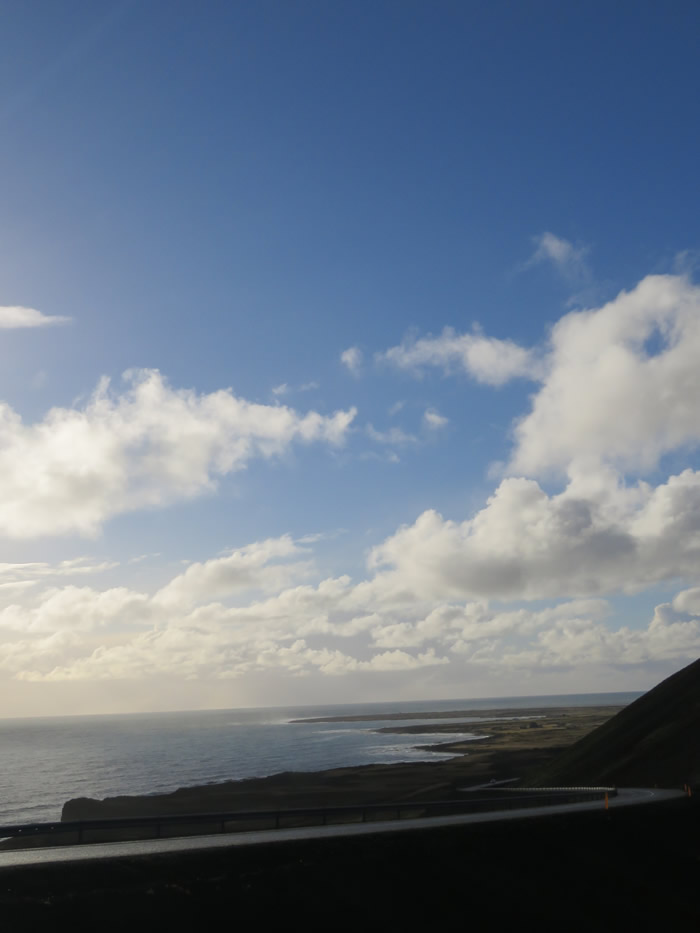
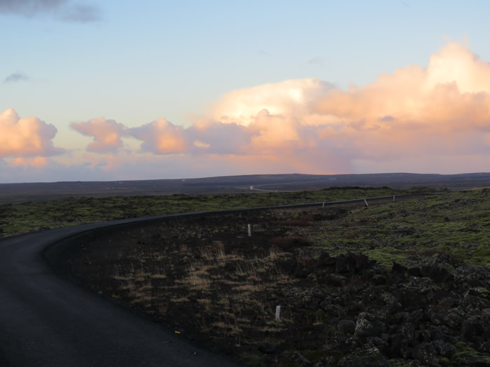
Long long stretches of road
Heading for Gulfoss.
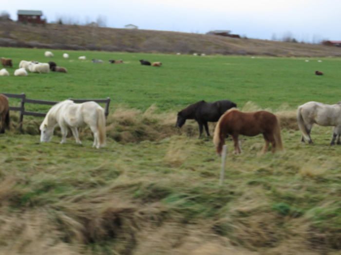
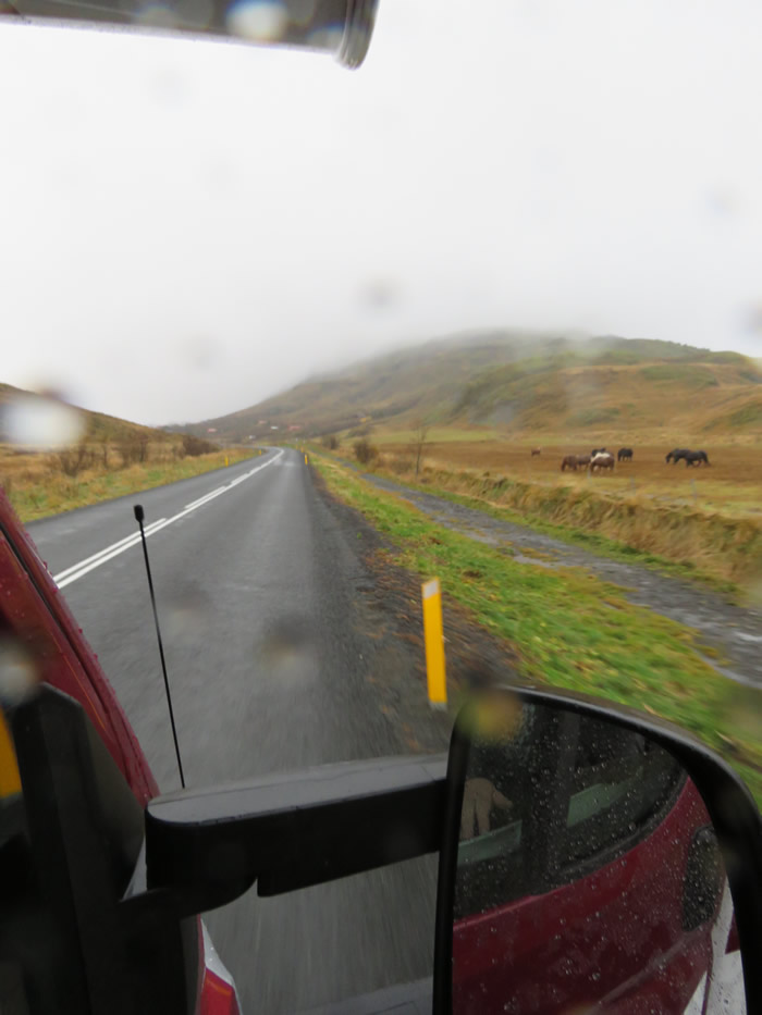
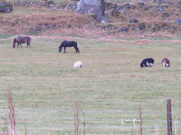
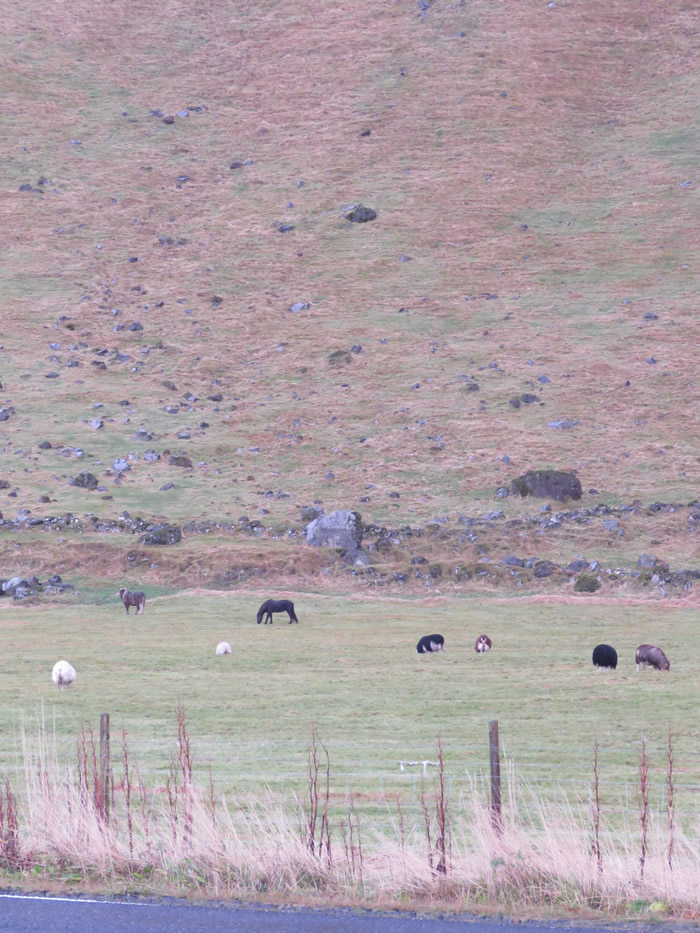
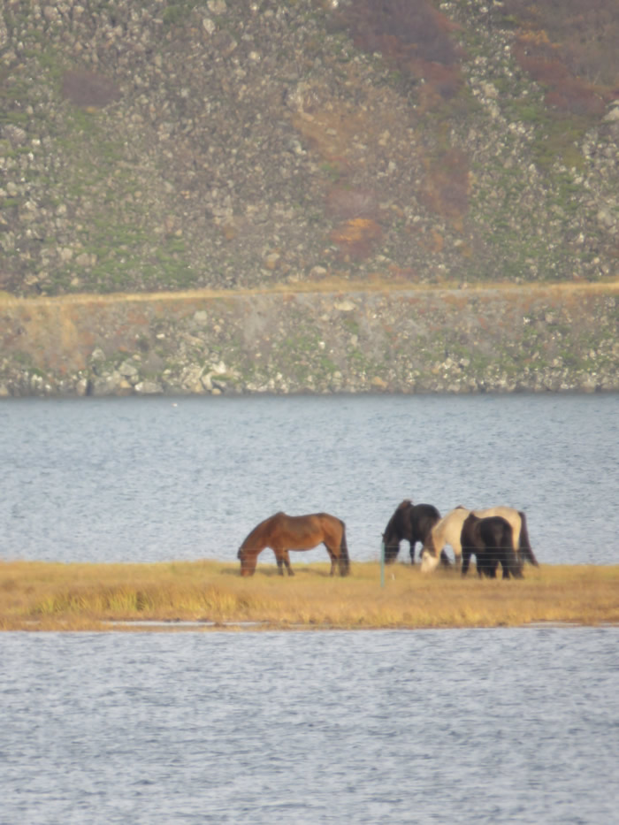
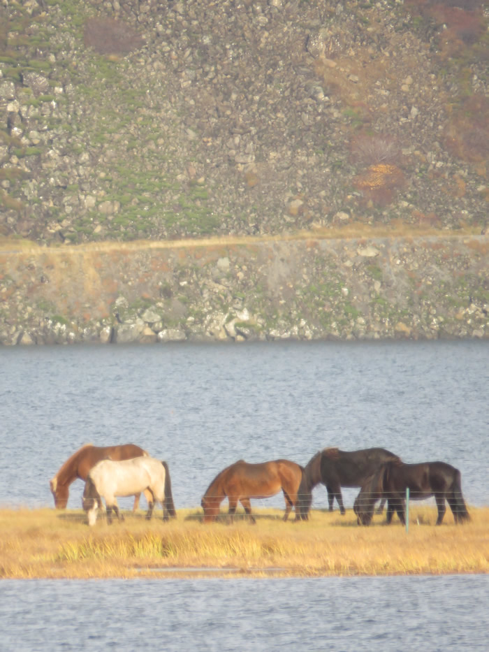
Icelandic ponies
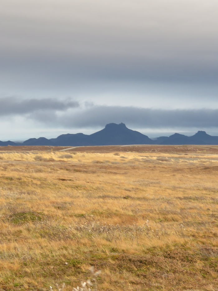
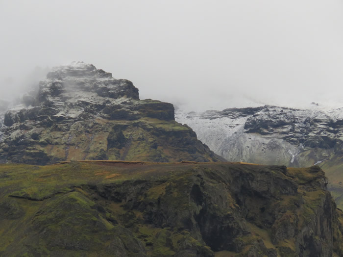
Dramatic skyline
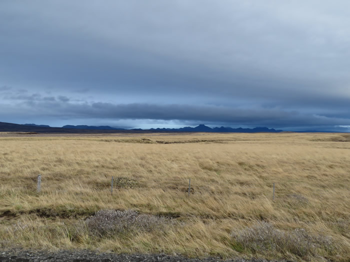
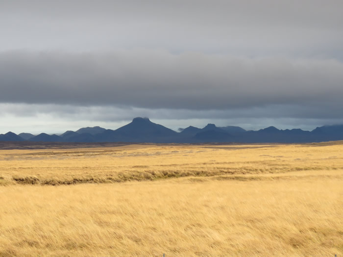
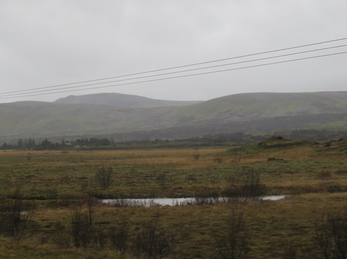
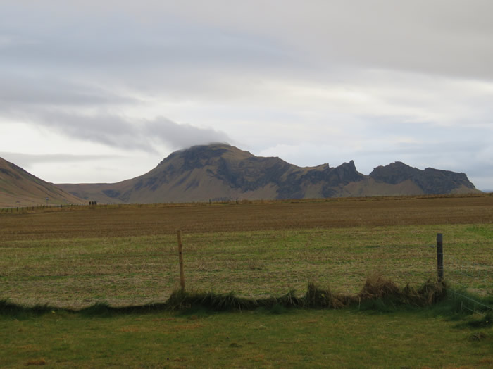
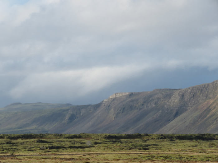
Volcanic mountains
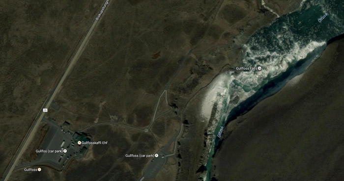
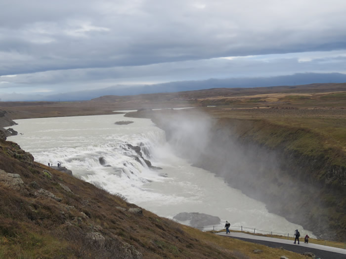
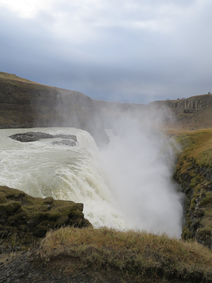
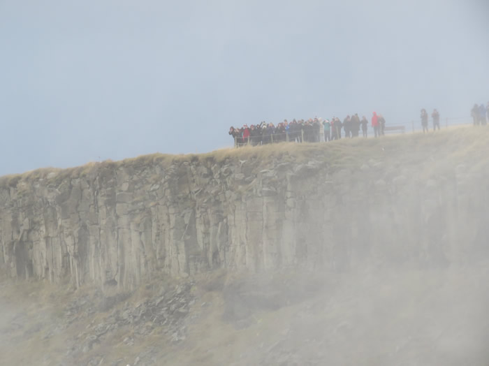
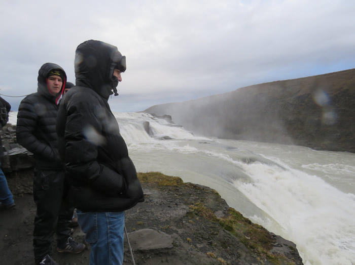
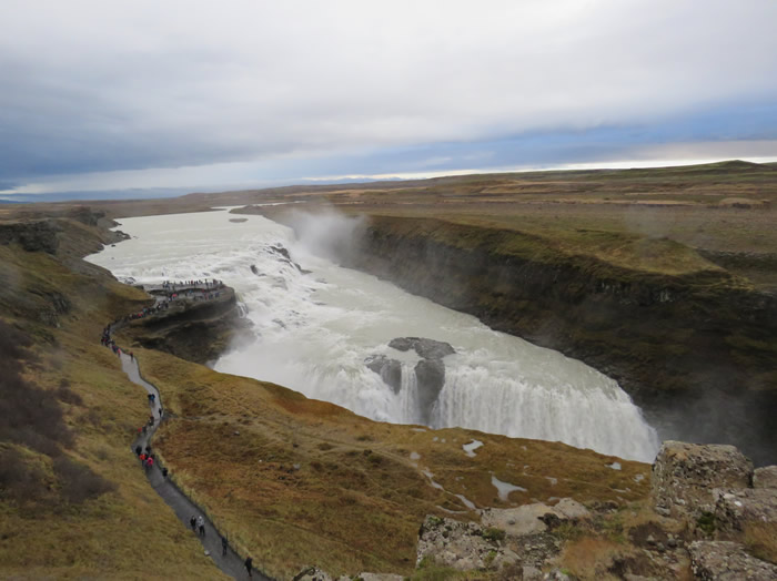
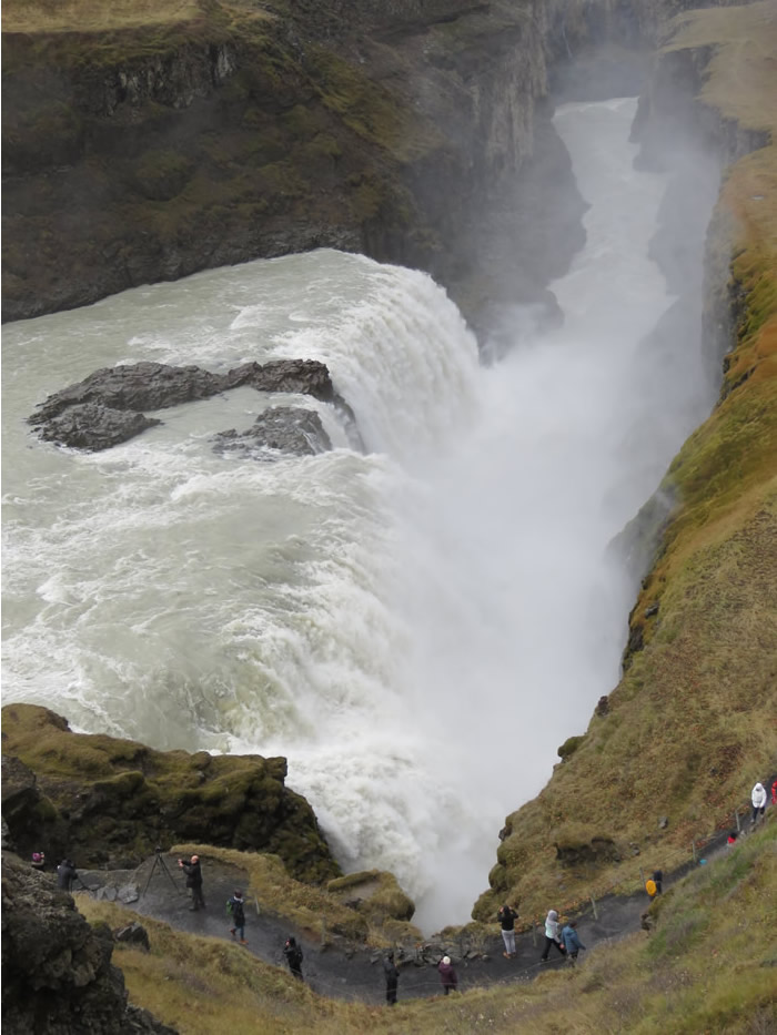
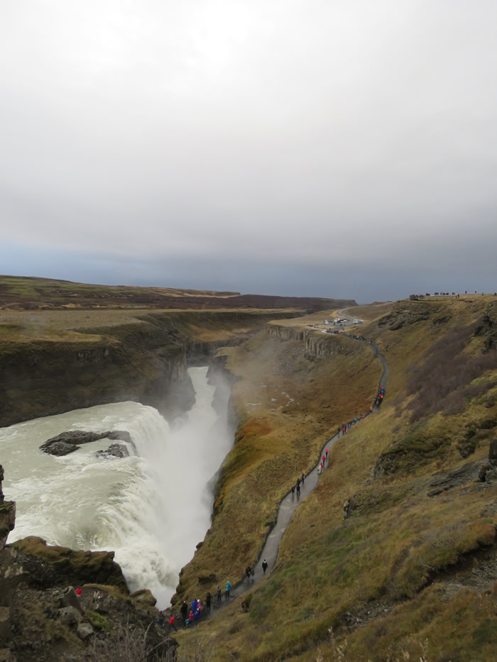
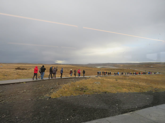
Arrived at Gulfoss

Tonka toys everywhere
That wont fit in my garage.
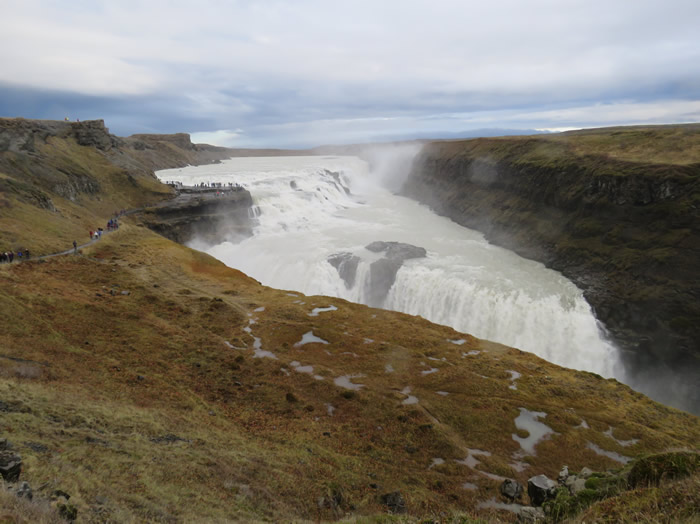
WOW! moment as you round the corner and this comes into view.
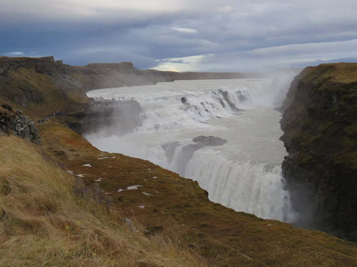
WOW ! Huge
2nd part of falls
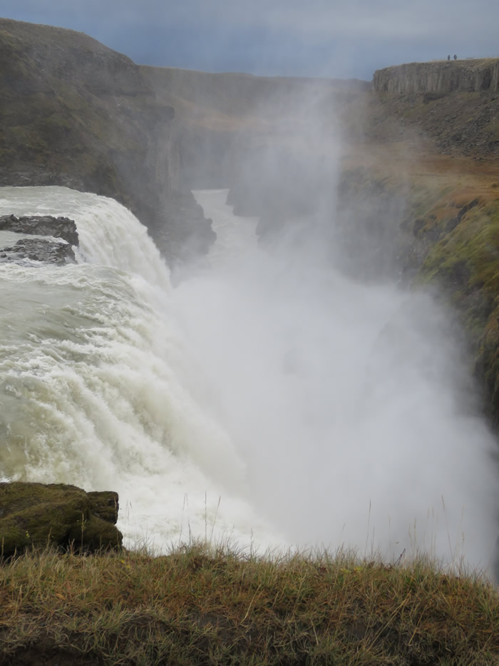
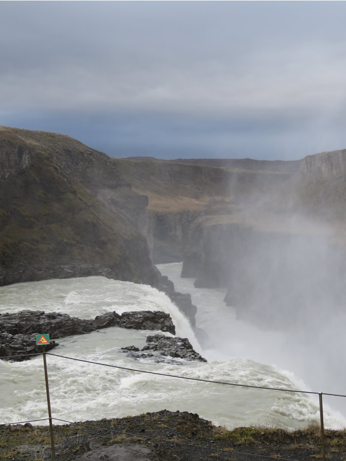
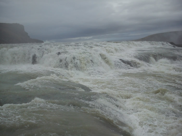
60 shipping containers full every second apparently.
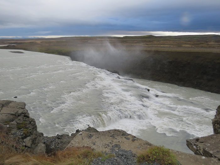
Gorge fills and overflows during flash flooding.
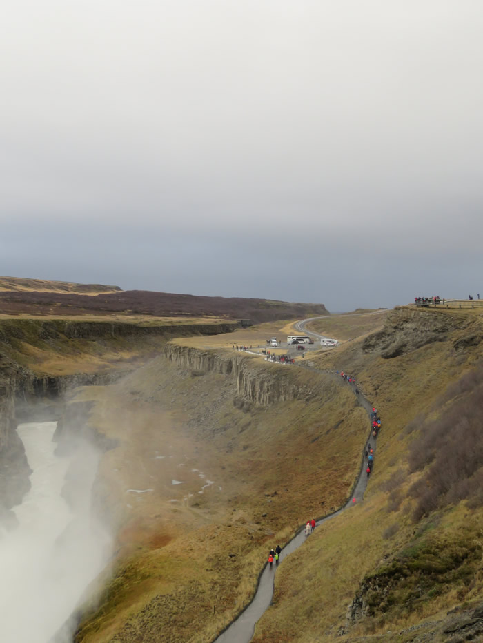

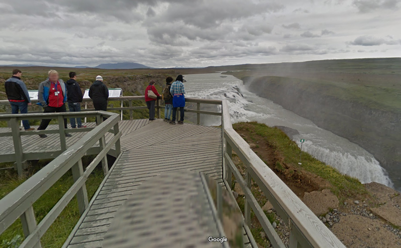
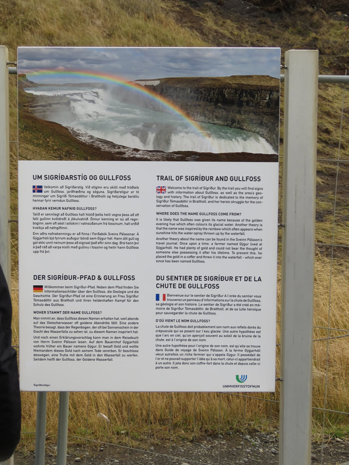
Click the Google image to explore Gullfoss in Google maps

Eating Icelandic 'lobscouse' in the cafe and watching the tourists after visiting the waterfall
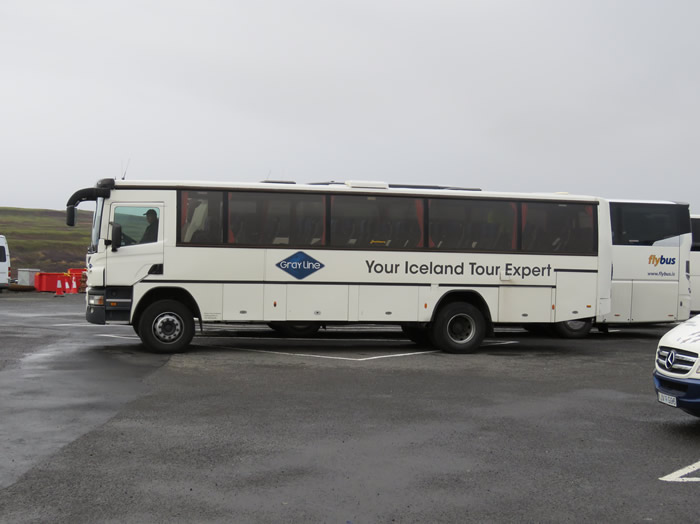
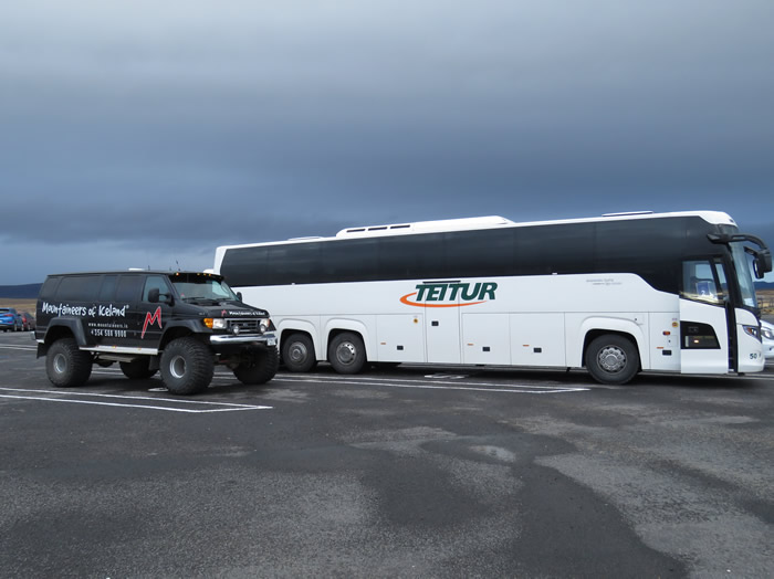
Icelandic bus/coach lorry derived
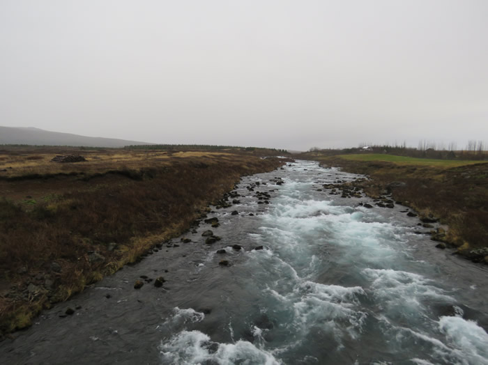
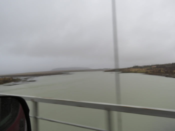
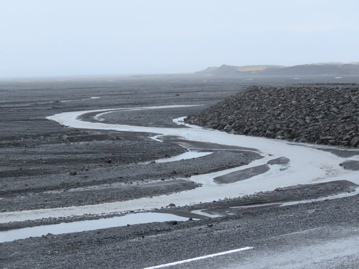
Glacial river

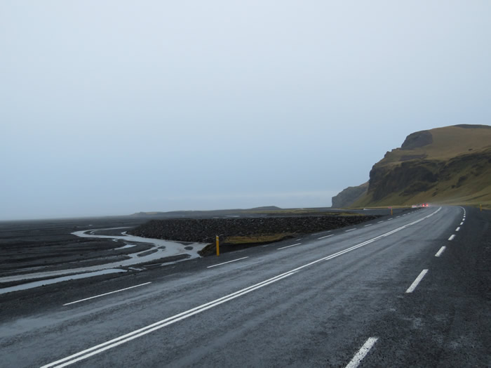
Raining again
another tongue twister
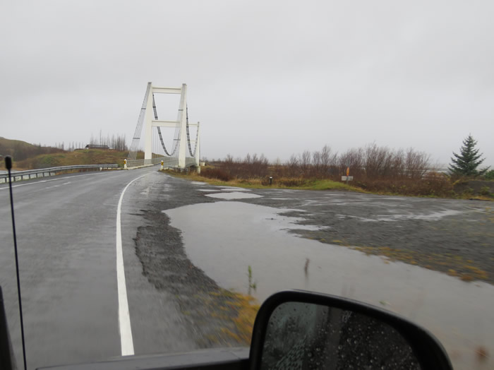
A mini Menai Bridge
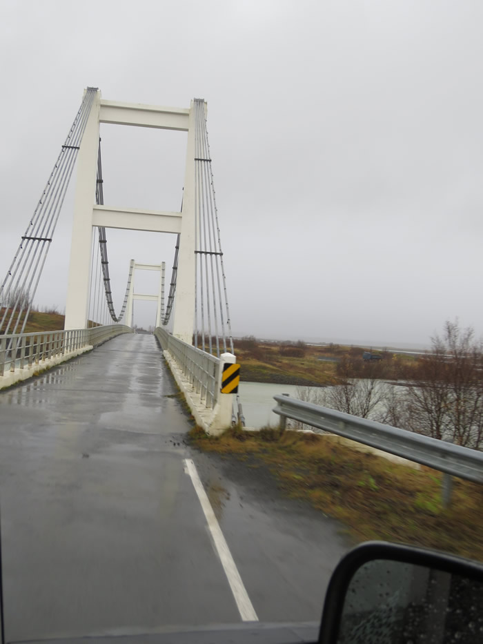
Hope nothing coming the other way
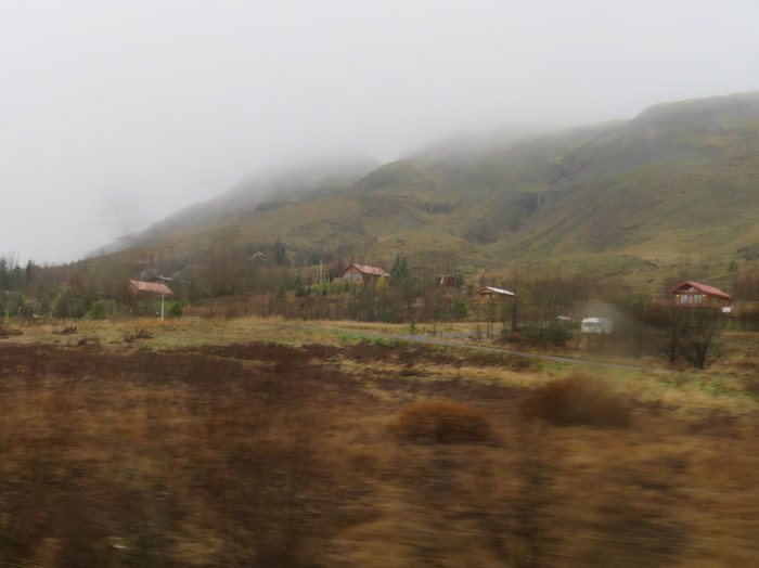
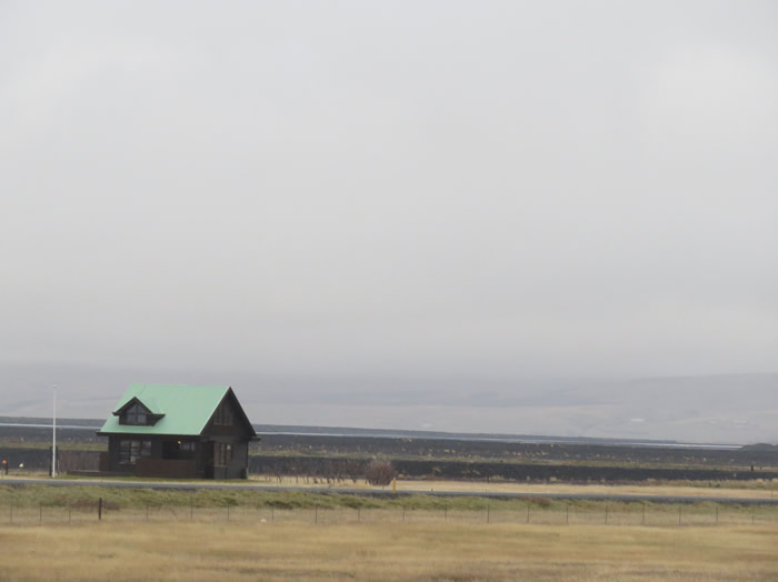
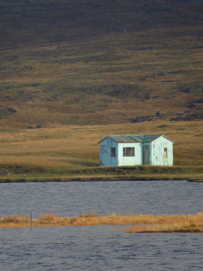
Little chalets dotted around the place, road meandering over the mountain almost had a Swiss feel to the place.
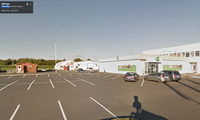
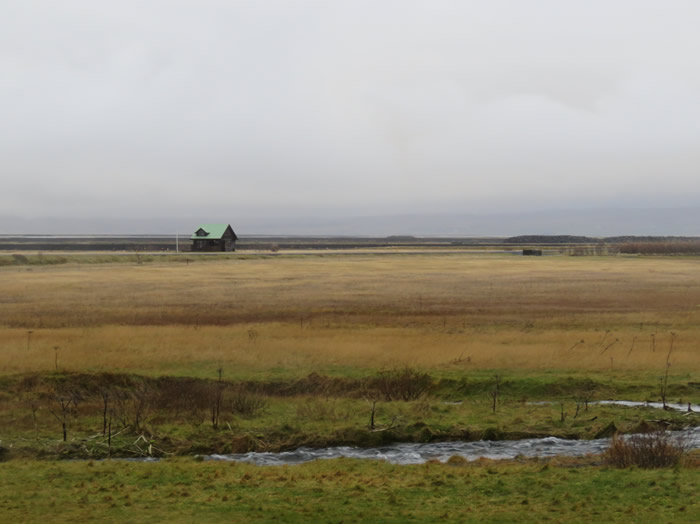
Stopped in Hvolsvöllur to get some provisions.
Hvolsvöllur is a small town in the south of Iceland about 106 km to the east of Reykjavík.
It is situated in the inland swamps of Landeyjar, in the municipality of Rangárþing eystra and has, as of January 2015, 934 inhabitants.
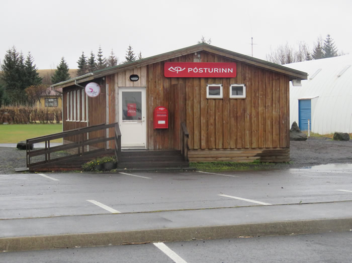
Local Post Office
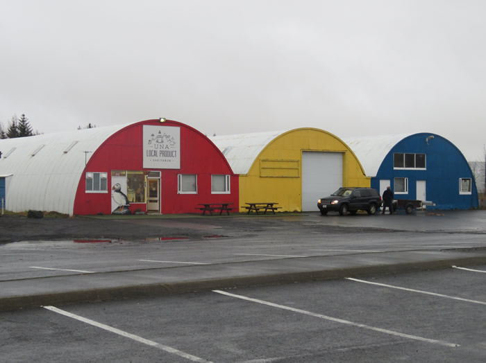
Village shops.
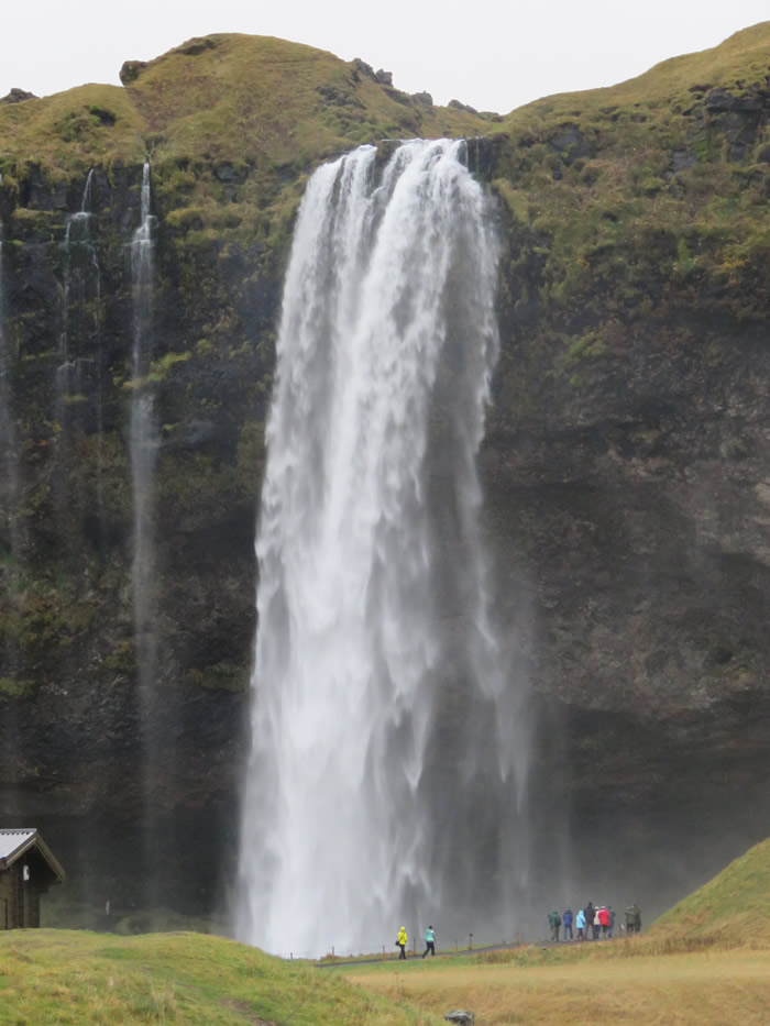
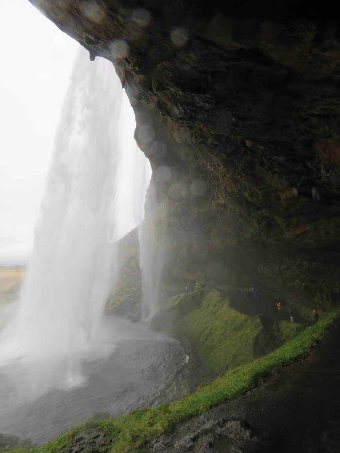
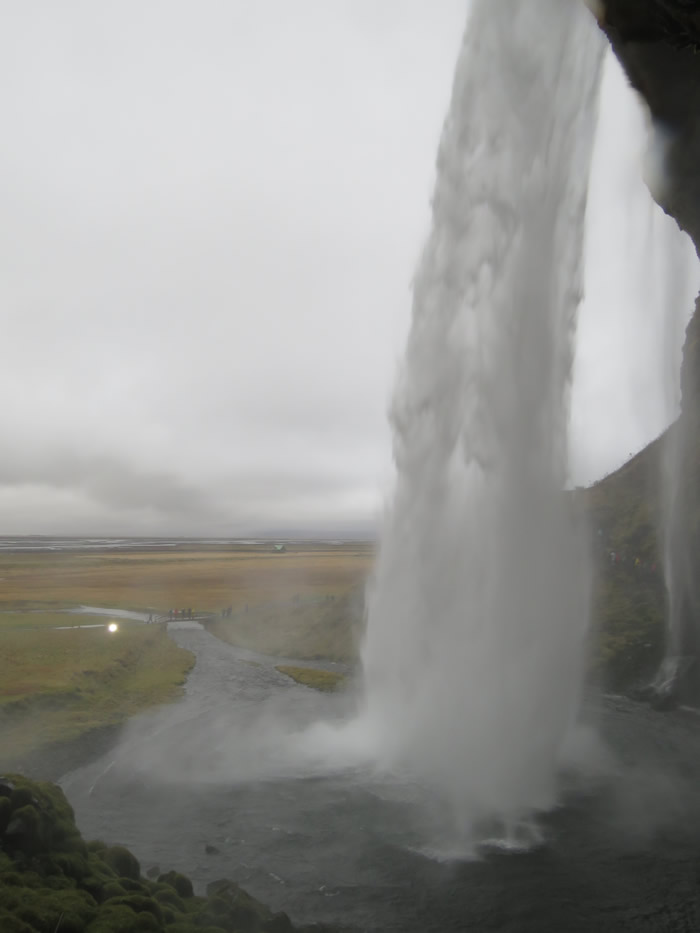
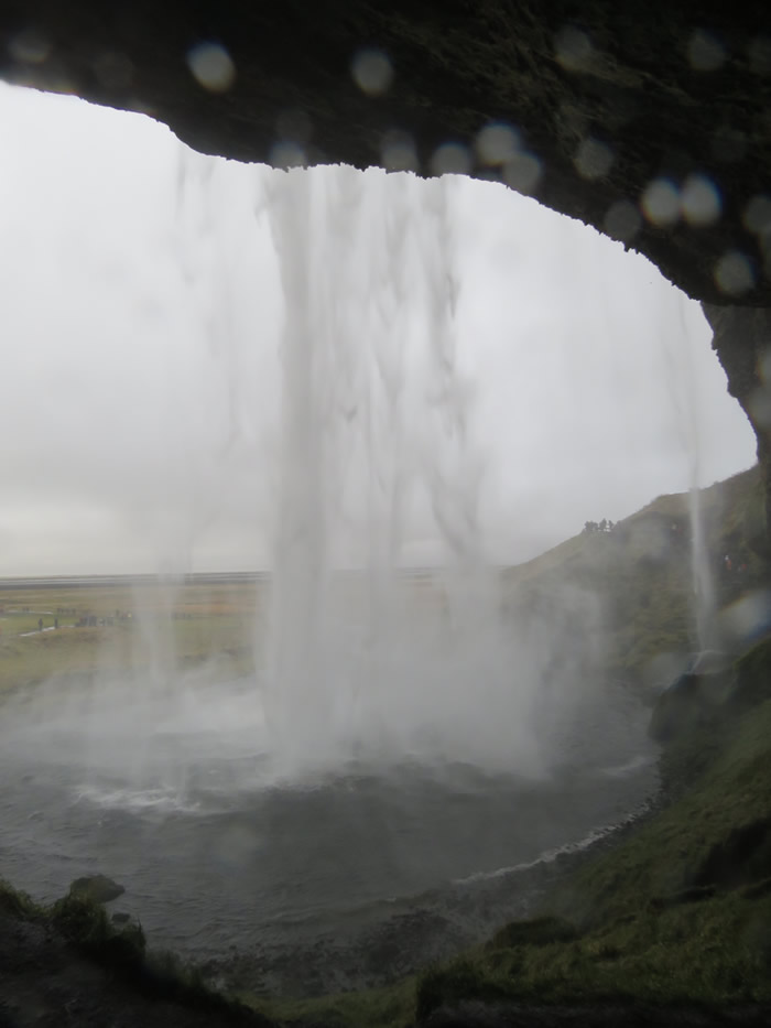
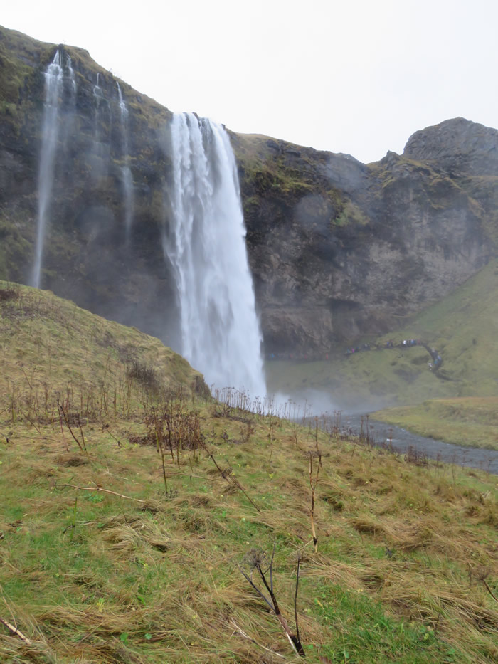
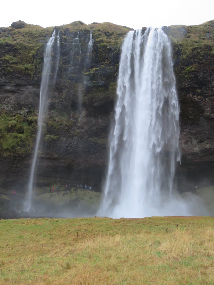
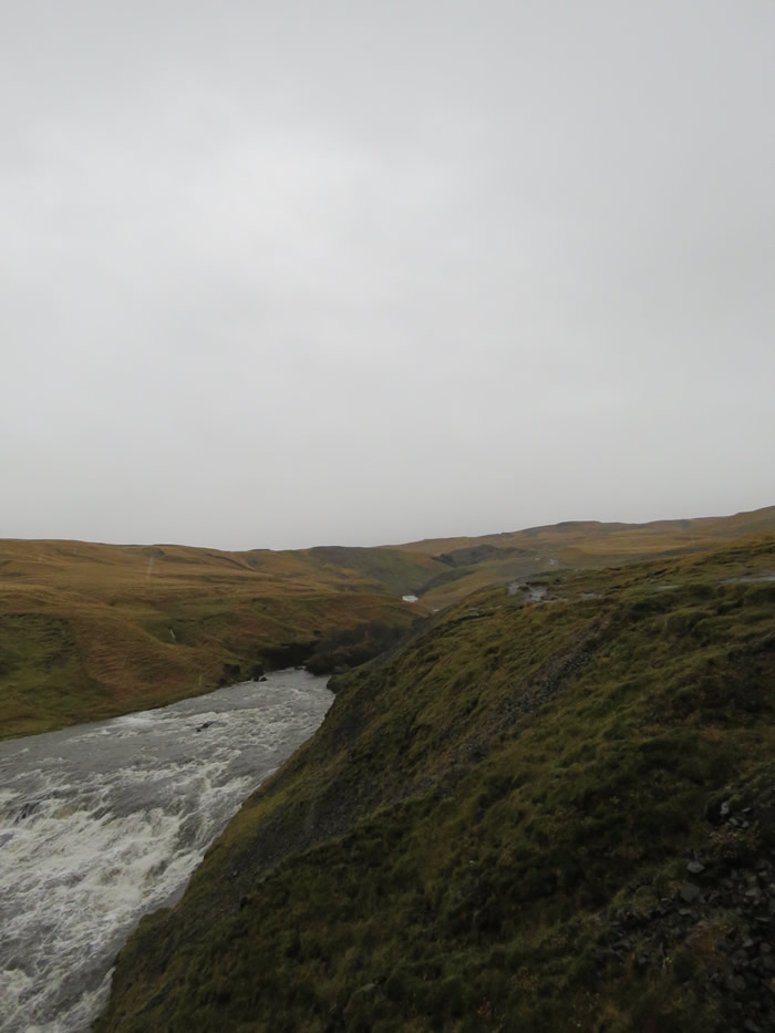
Seljalandsfoss
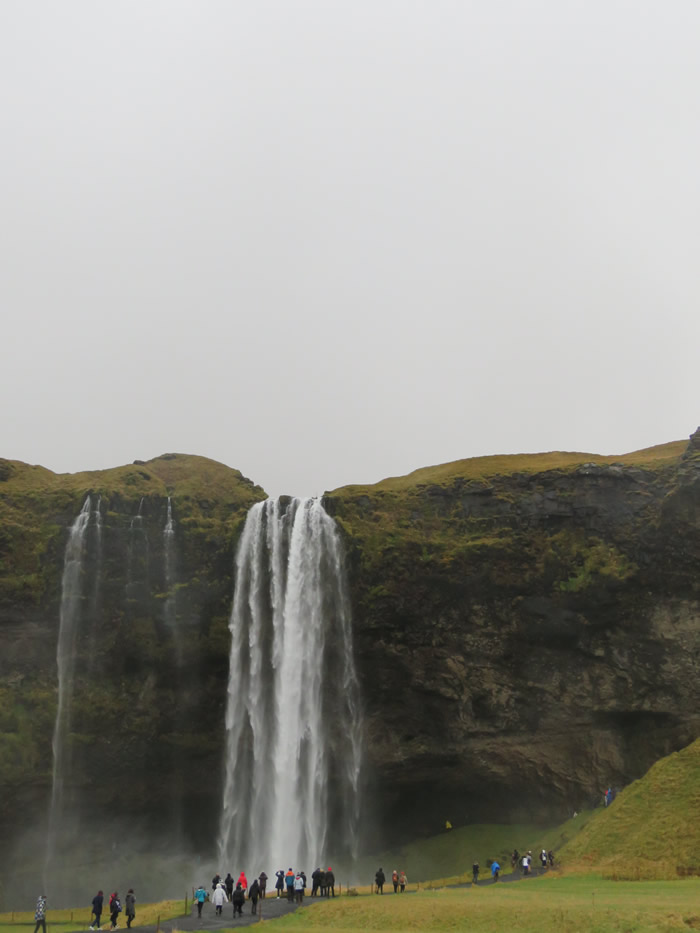
A unique waterfall in the river Seljalandsá, about 30 km west from Skógar.
It is 60 meters high with a foot path behind it at the bottom of the cliff, but with a thin cascade.
It is the only known waterfall of its kind, where it is possible to walk behind it.
The waterfall is very picturesque and therefore its photo can be found in many books and calendars.
Access to the waterfall is from the farm of Seljaland along the Ring Road, Iceland's main highway.
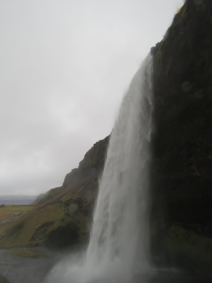

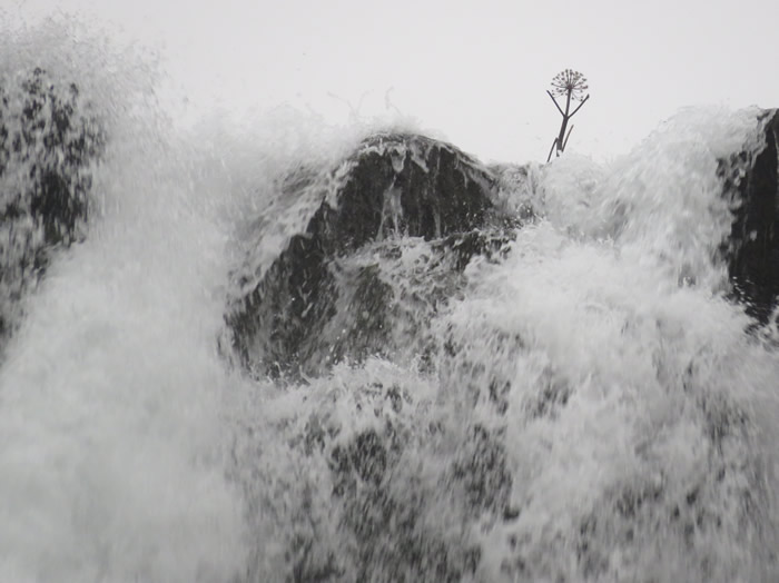
Behind Seljalandsfoss
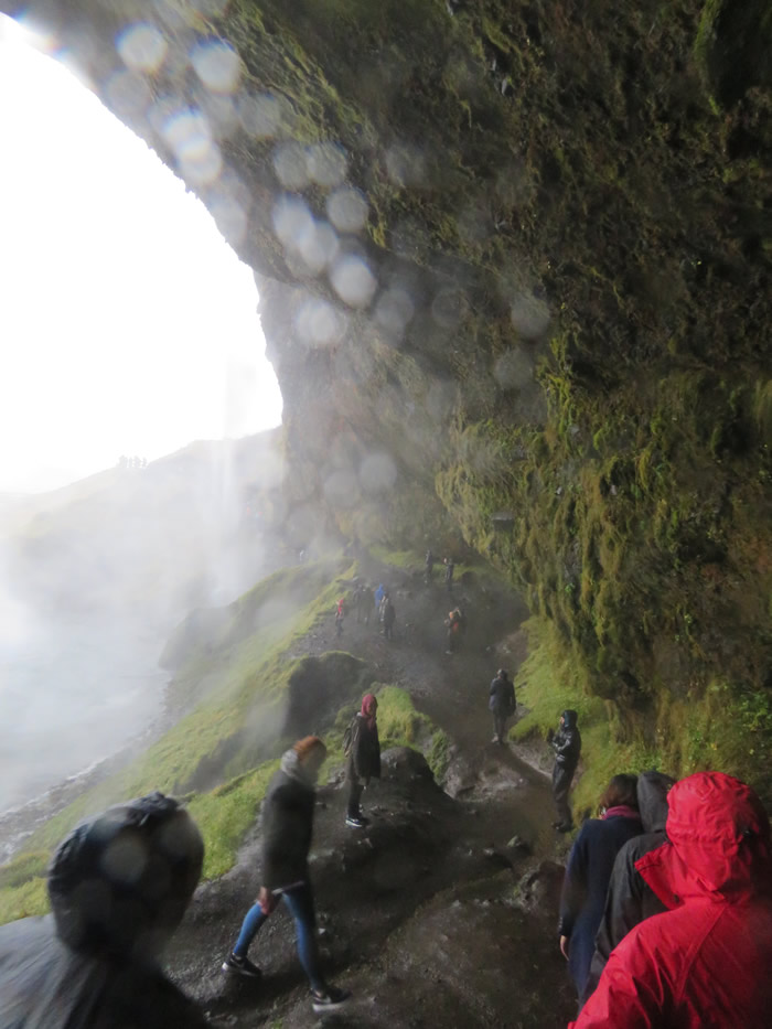
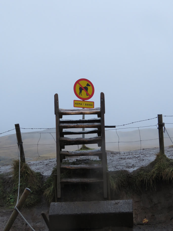
Not a lot of health and safety reg's in Iceland

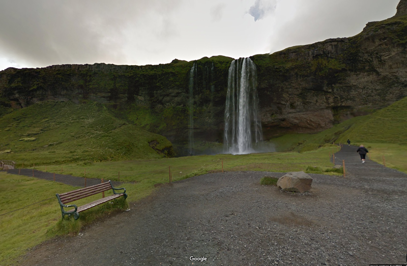
Click Google image to explore on Google Maps
Top of waterfall
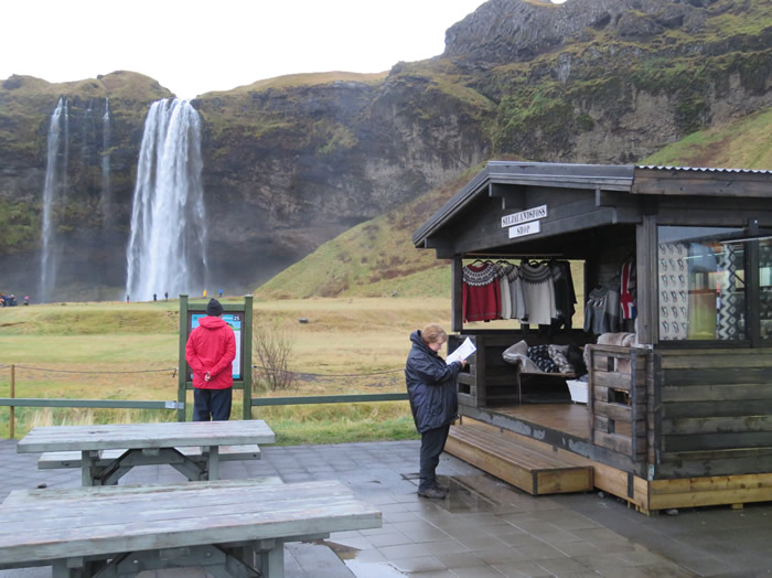
Souvenir shop, get your Icelandic jumper knitted locally by grandma.
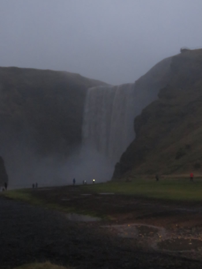
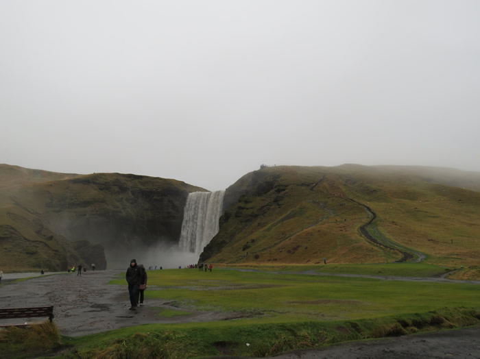
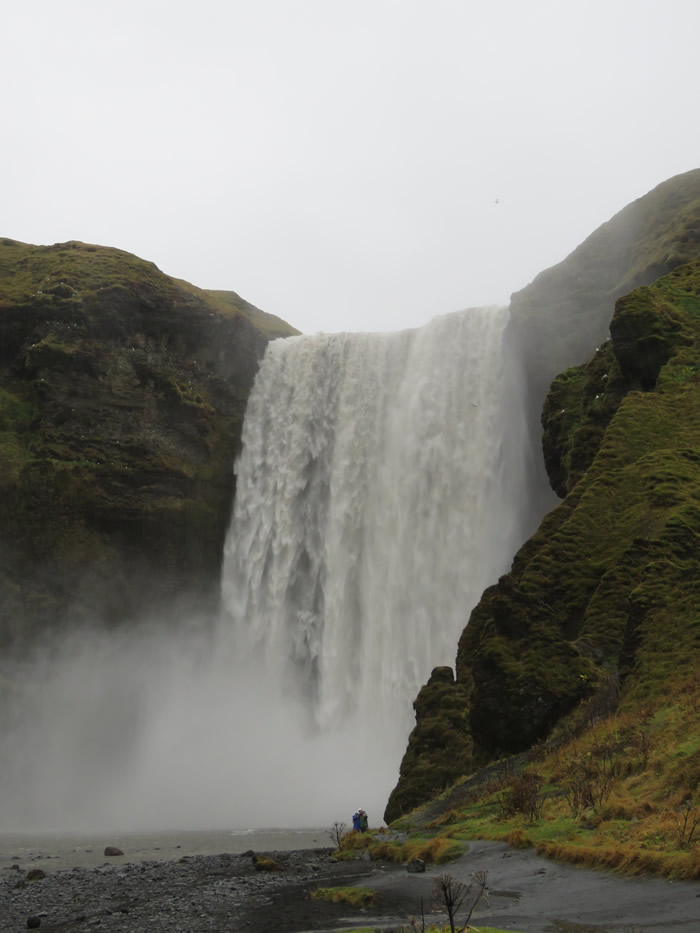
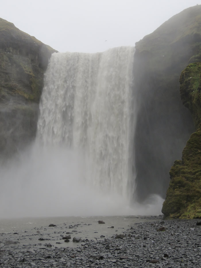
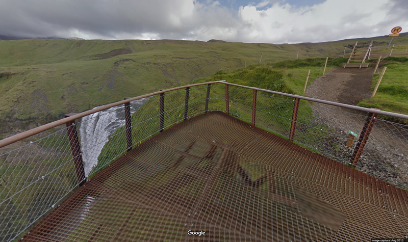
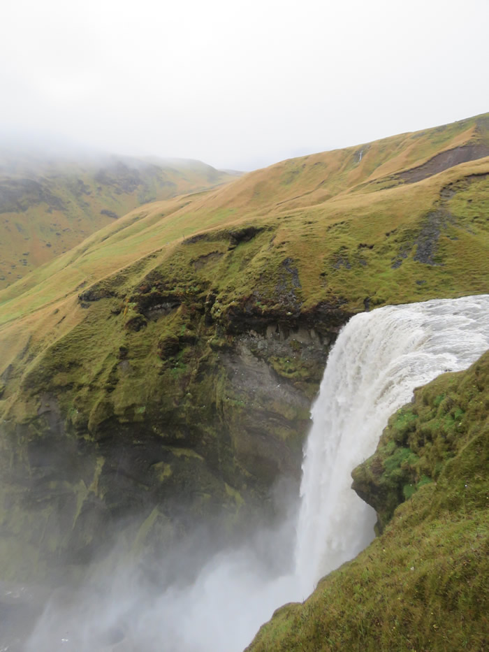
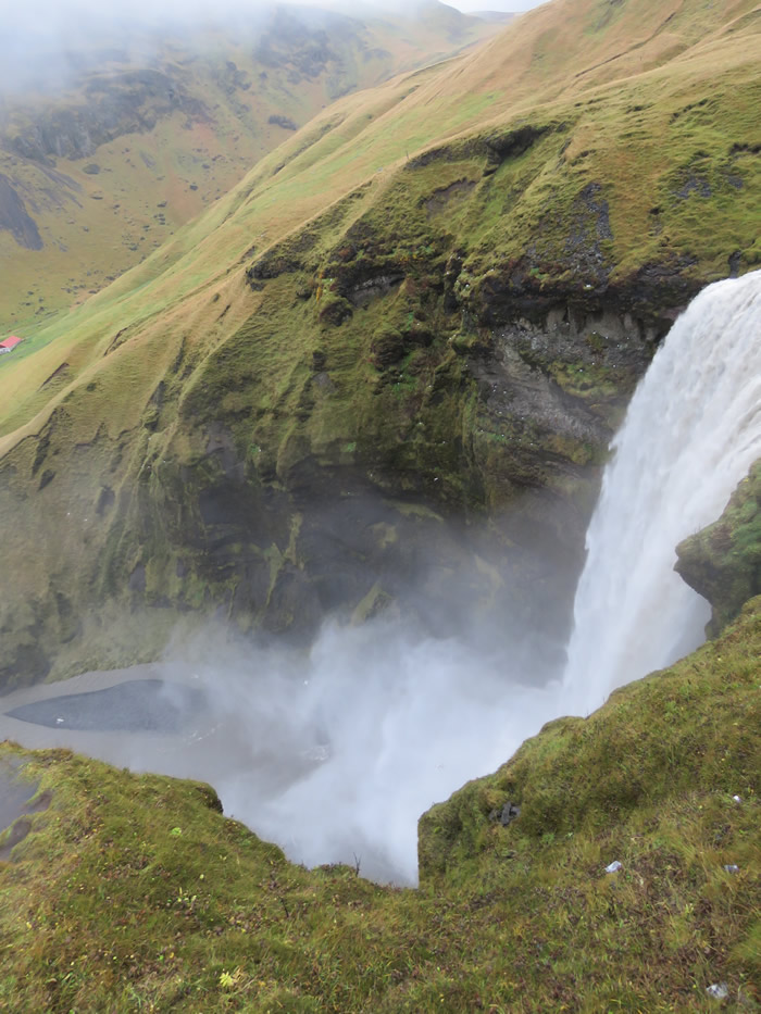
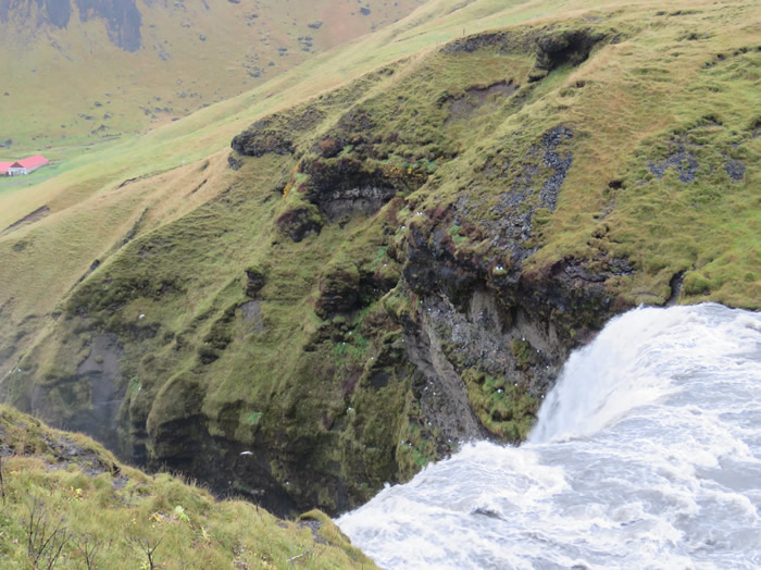
Arrived at Skogafoss late evening.
Slept to the sound of rain and the sound of the waterfall.
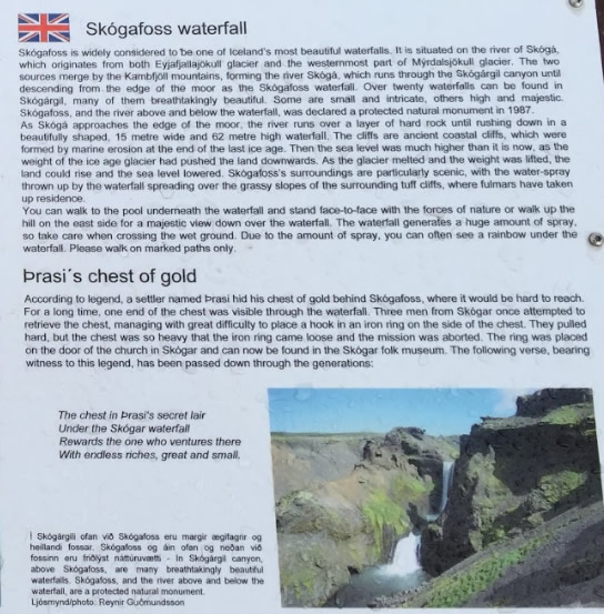
Good Morning - Góðan daginn

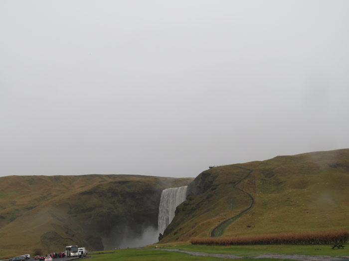
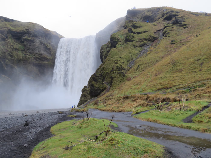
Skogafoss is one of the biggest and most beautiful waterfalls of the island with an astounding width of 25 meters and a drop of 60 meters.
This is one of the most popular waterfalls in Iceland for travelers to visit.
It is located in South Iceland, not far from Skogar, which itself features a highly interesting regional museum.
Due to the amount of spray the waterfall often produces a single or double rainbow on sunny days.
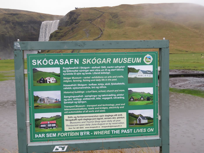
Icelandic equivalent of St Fagans (Welsh historic Museum)
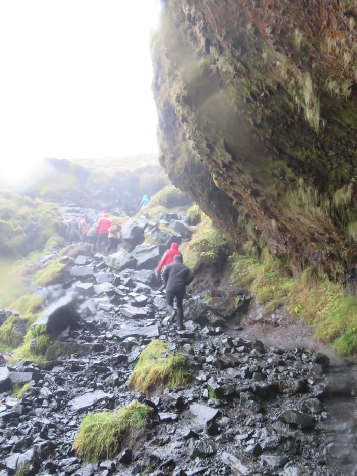
Long path to top of waterfall, a bit of a trek.
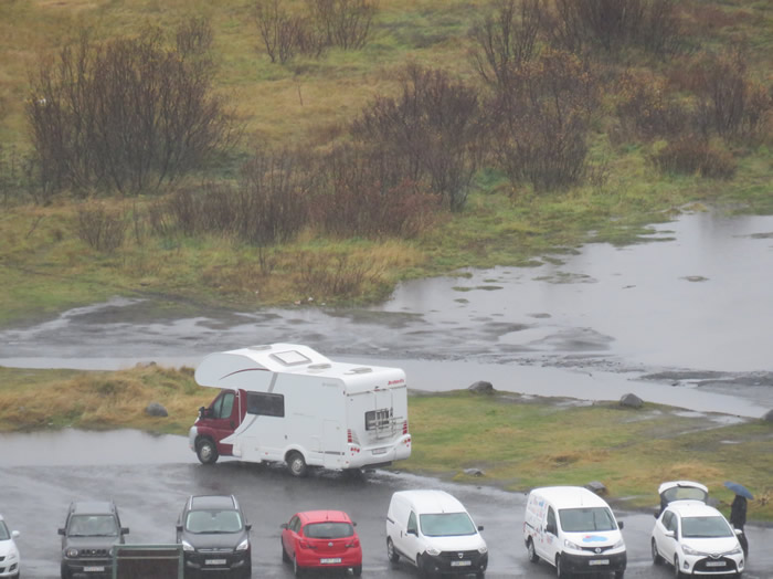
Good zoom on the camera from the top.
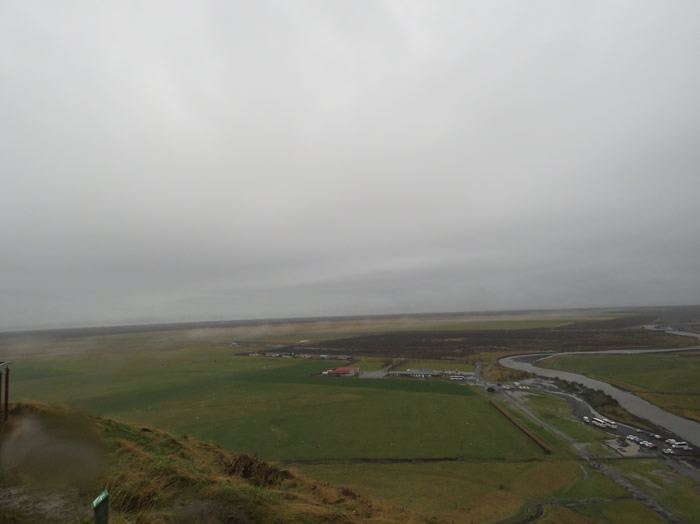
Top of the world.
Click image to explore Skogafos on Google Maps
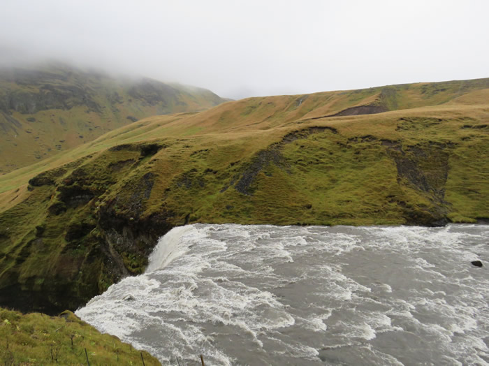
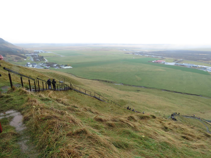
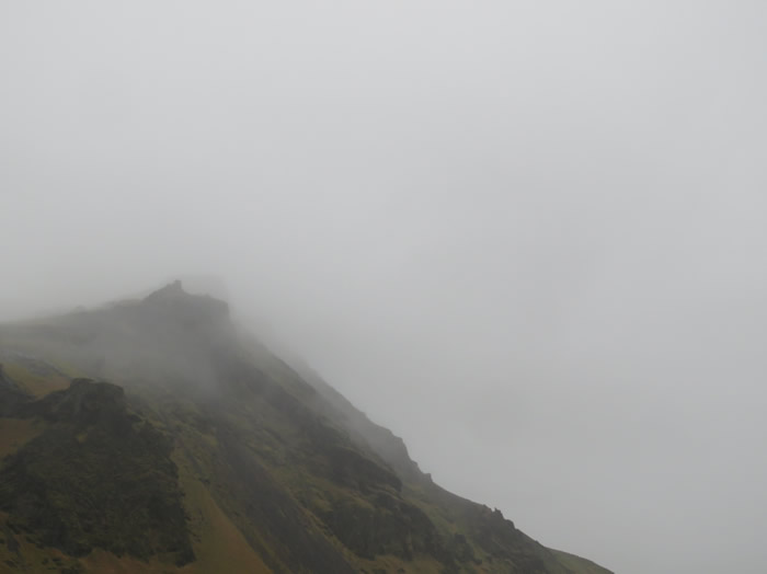
Steps lead to a 14km trail deep into the mountain side.
Running low on fuel we searched for the nearest petrol station and headed for Vik (33 km)
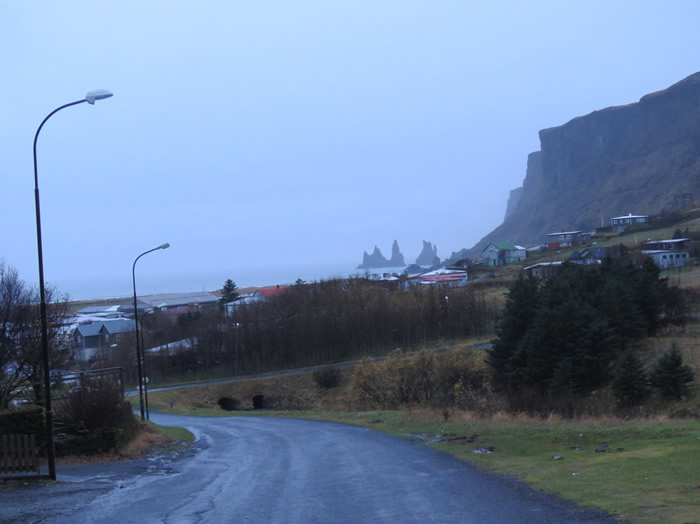
The village of Vík is the southernmost village in Iceland,
located on the main ring road around the island,
around 180 km by road southeast of Reykjavík.
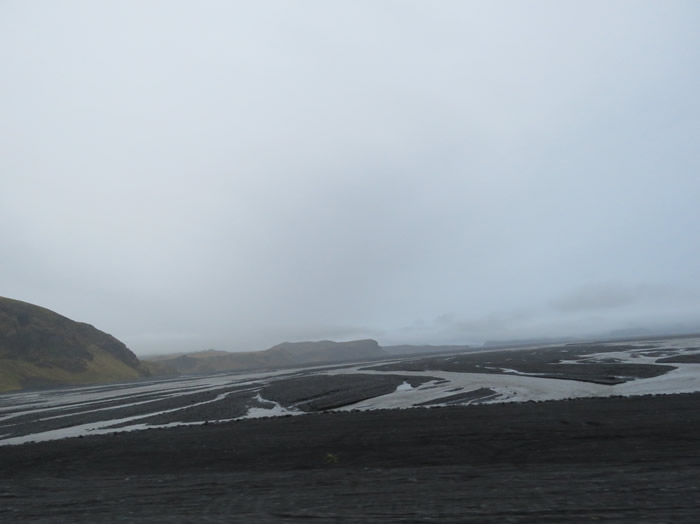
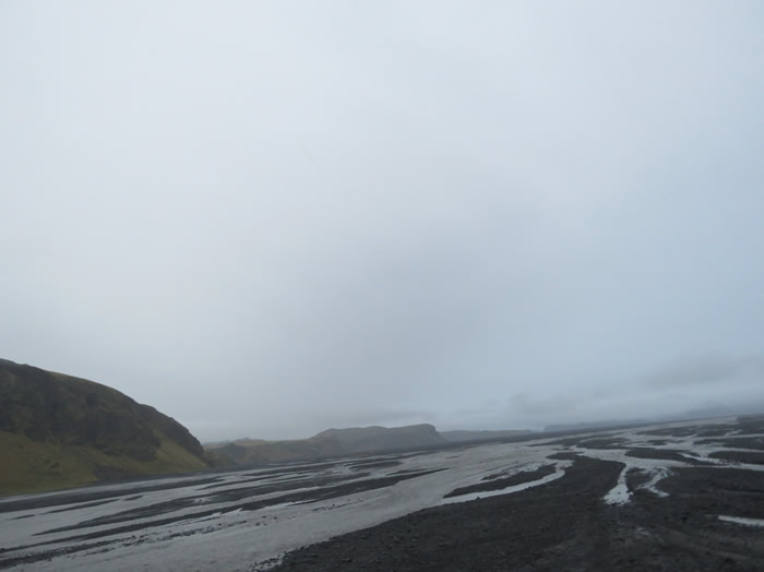
Having refueled we went in search of glaciers.
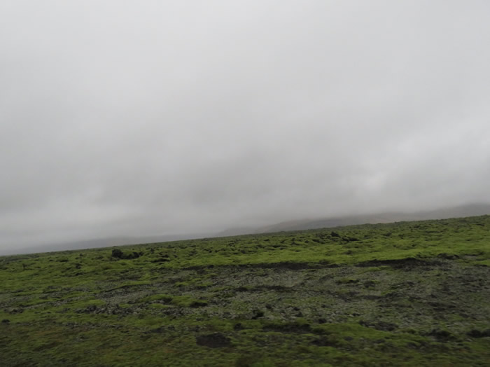
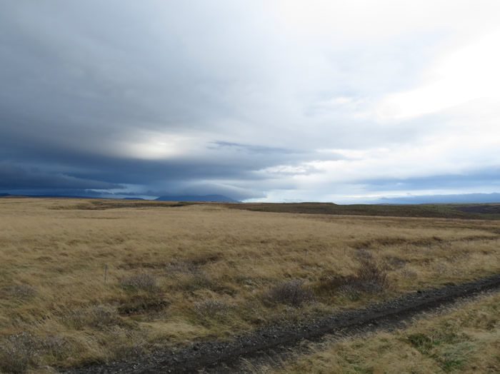
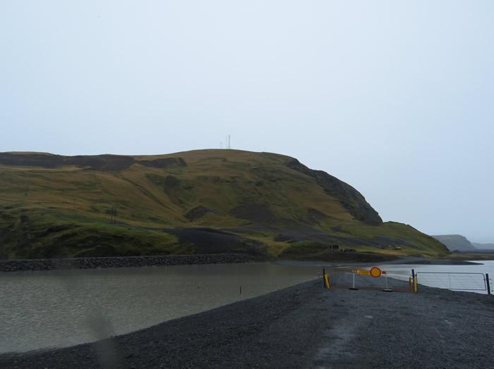
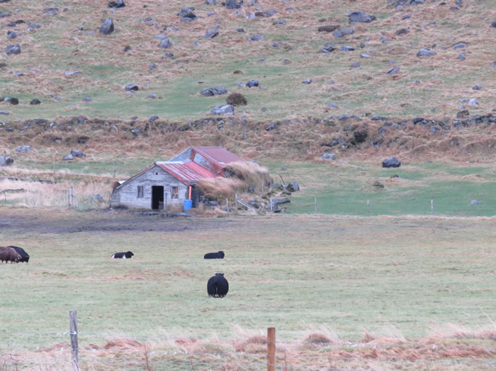
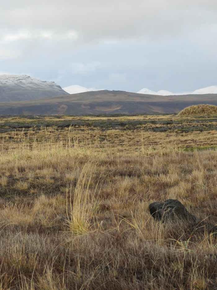
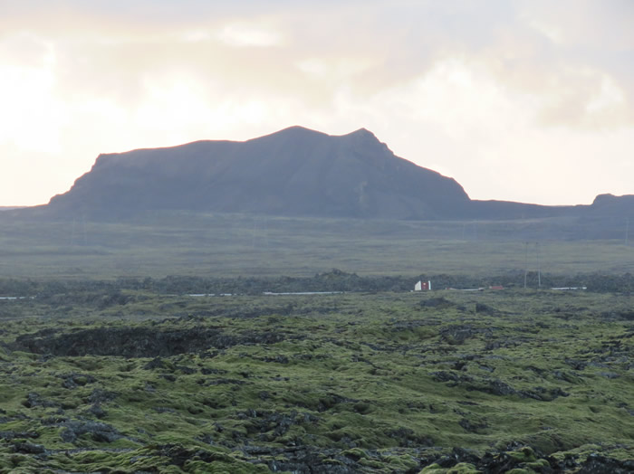
Mile upon mile of volcanic terrain.
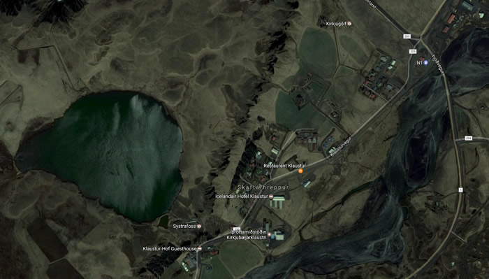
Skaftárhreppur is a municipality in southern Iceland. The largest settlement is Kirkjubæjarklaustur.
Systrafoss is a waterfall fed from a lake above the settlement.
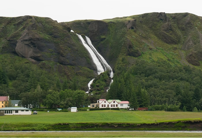
Systrafoss waterfall.
We then returned back to Vik.
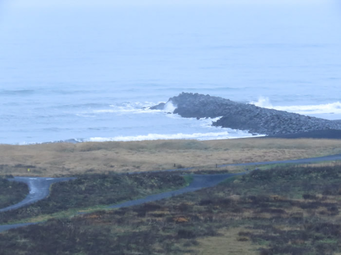
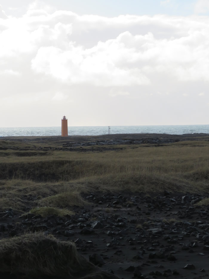
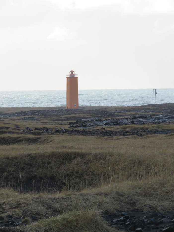
Vik's southern limits are black sands and the rolling Atlantic waves.
Vik is the only seaside settlement in Iceland left without a harbour.

After doing a bit of exploring around Vik we headed out again.
Are we driving around in a mobile church ?
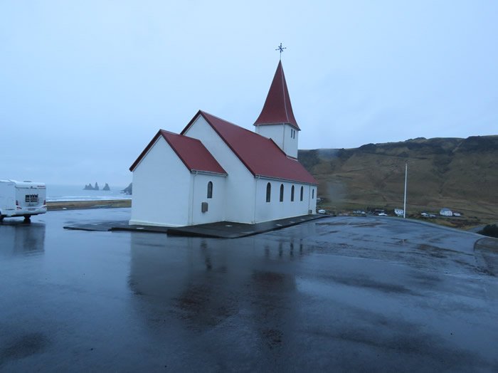
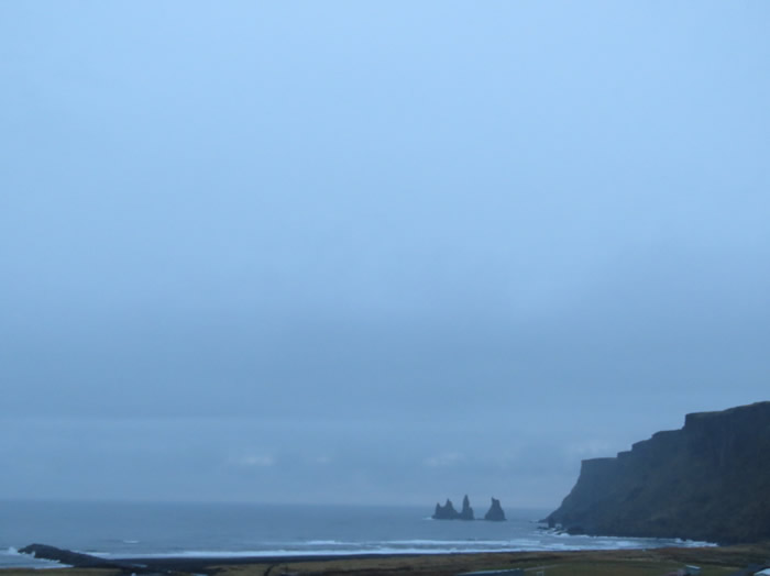
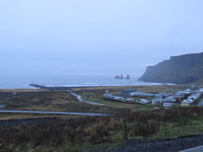
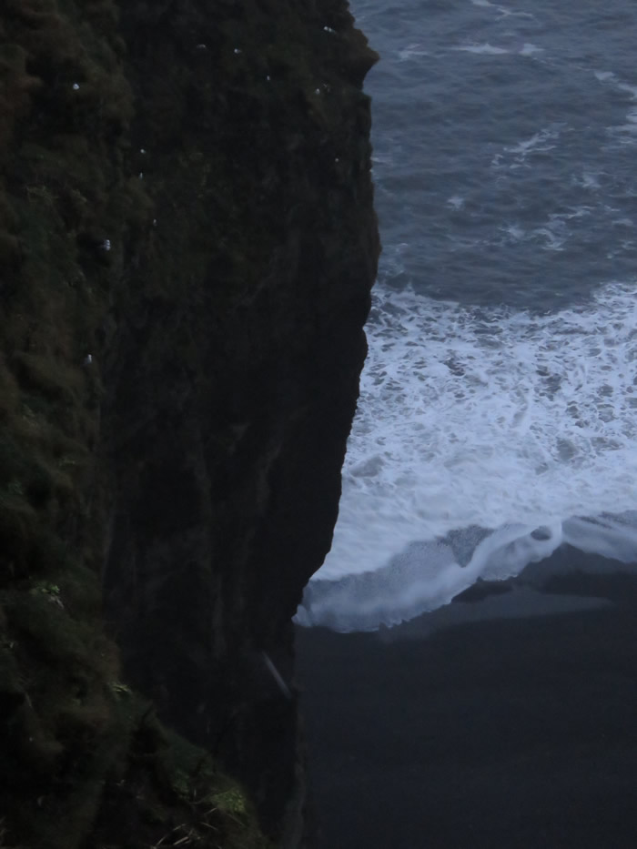
Under the Reynisfjall Mountains, at the end of a dramatic stretch of black sand beach are these towering,
spiky basalt sea stacks jutting out from the ocean 66 meters (217 ft) into the air.
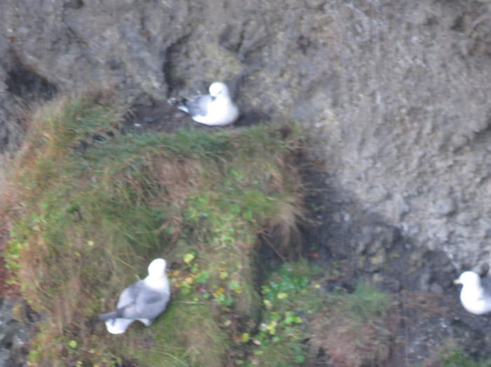
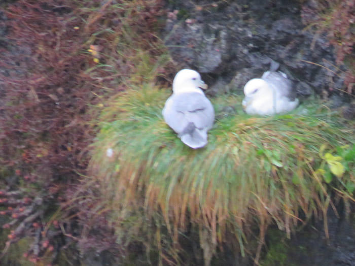
Reynisdrangar are a visual trademark for the town of Vik in Myrdal, and are teeming with nesting Arctic terns.
Folkloric legend says there were two trolls pulling a three-masted ship to the shore unsuccessfully,
but were caught by the sunlight at dawn and turned into stone, as happens to trolls when they stay out after dark.
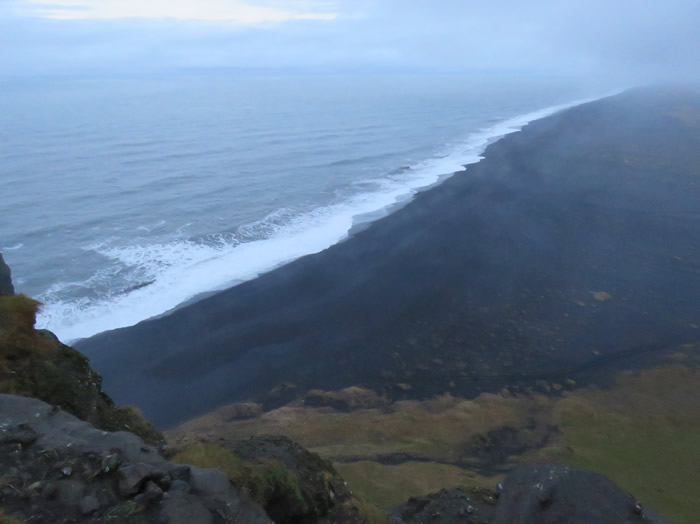
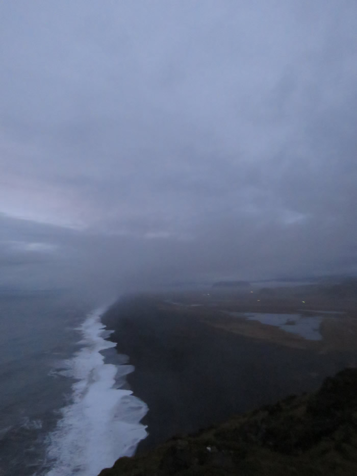
Black sandy beaches
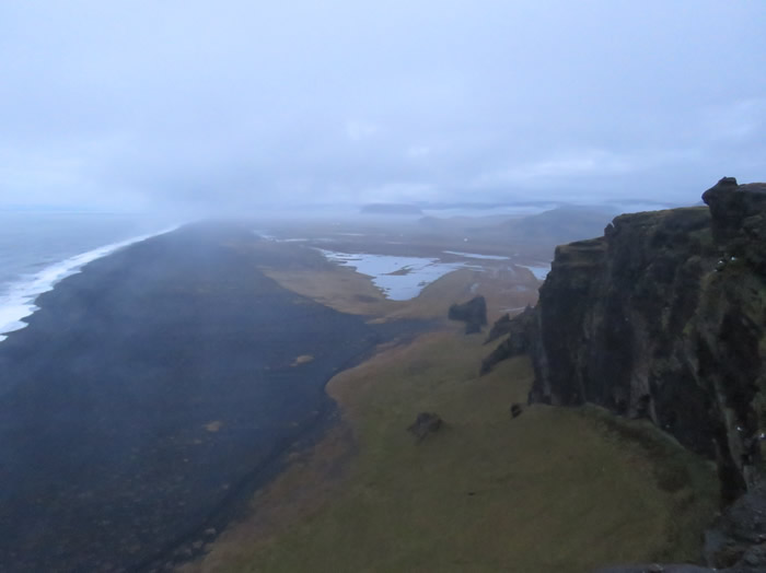
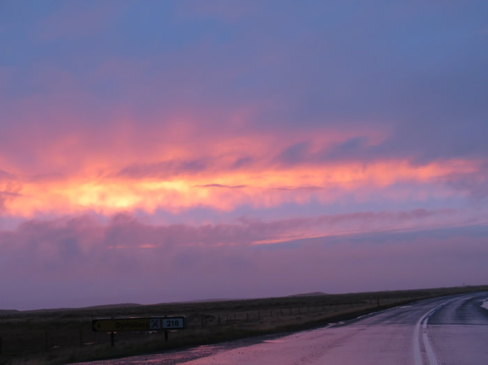
Black beach Dyrhólaey
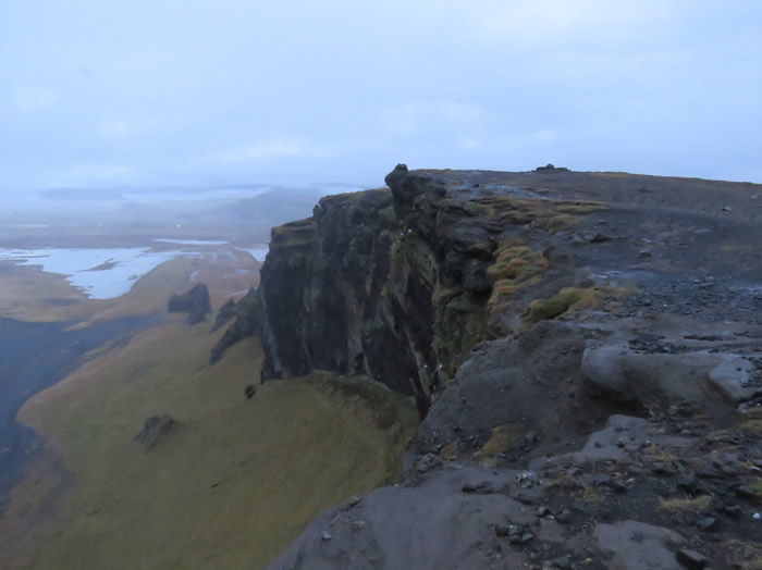
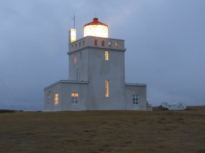
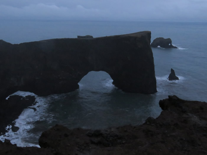
Dyrholaey Arch.

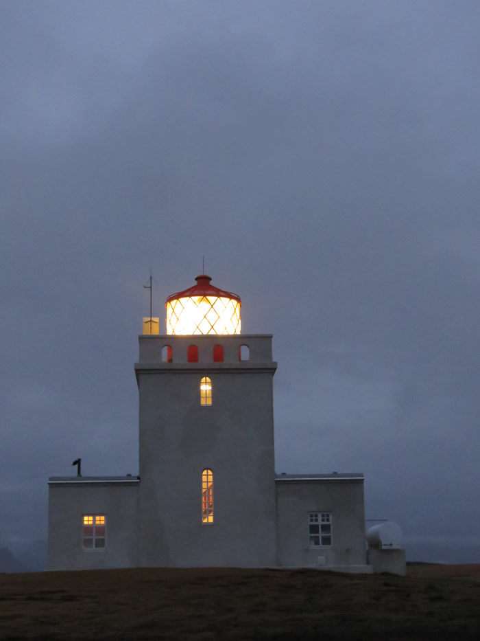
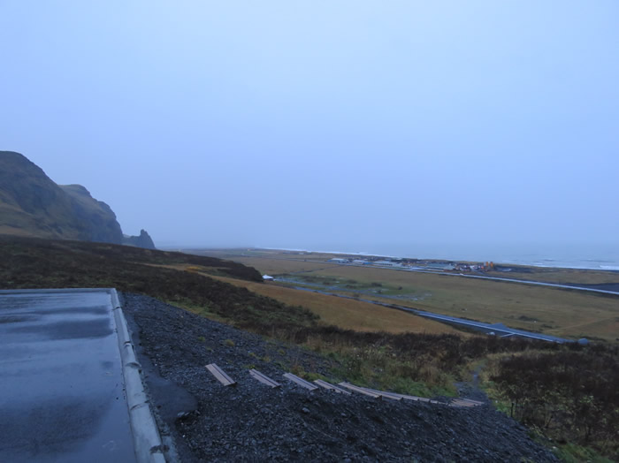
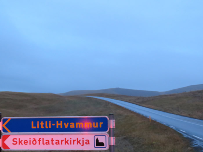
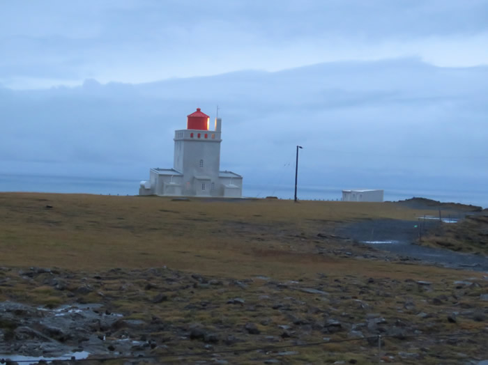
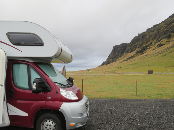
Getting late, time to find somewhere to park up.
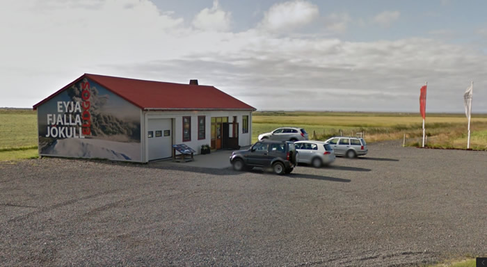
Stayed the night in the car park of the Eyjafjallajökull museum.
Good Morning - Góðan daginn
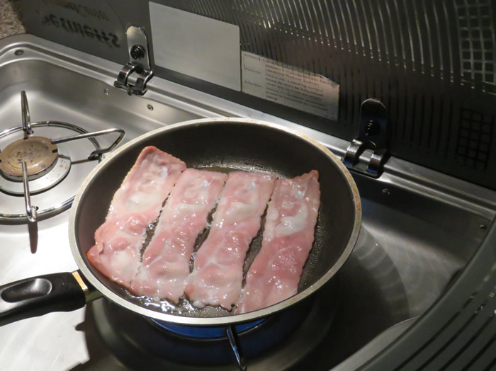
Last breakfast, bacon and eggs (think it's bacon)
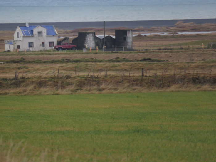
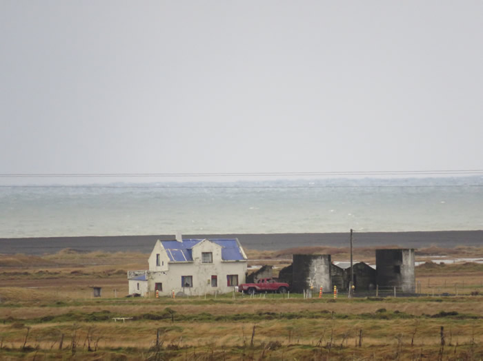
on the ring road at the base of the Eyjafjallajökull Glacier,
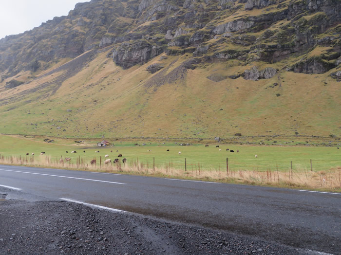
Þorvaldseyri Farm at the base of the Eyjafjallajökull volcano.
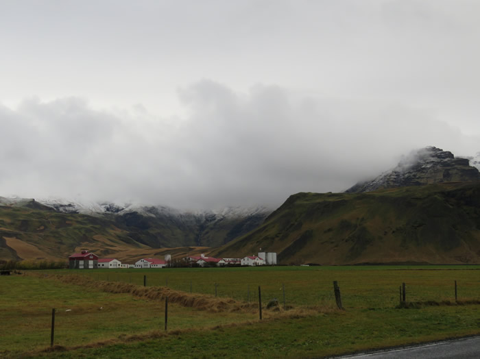
Þorvaldseyri - The farm at the foot of Eyjafjallajökull volcano which erupted back in 2010.
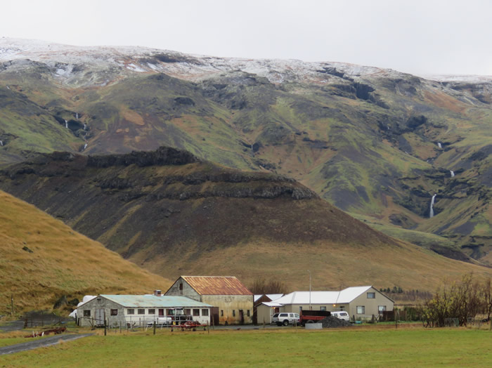
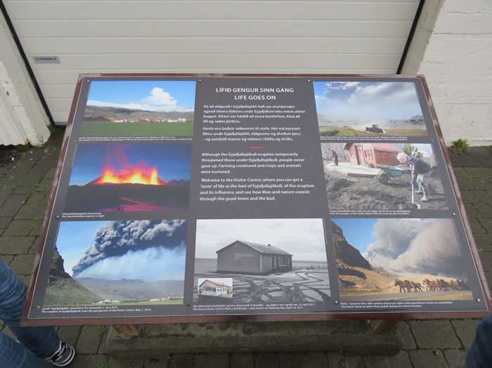
Visit the Museum
Definitely worth a visit.
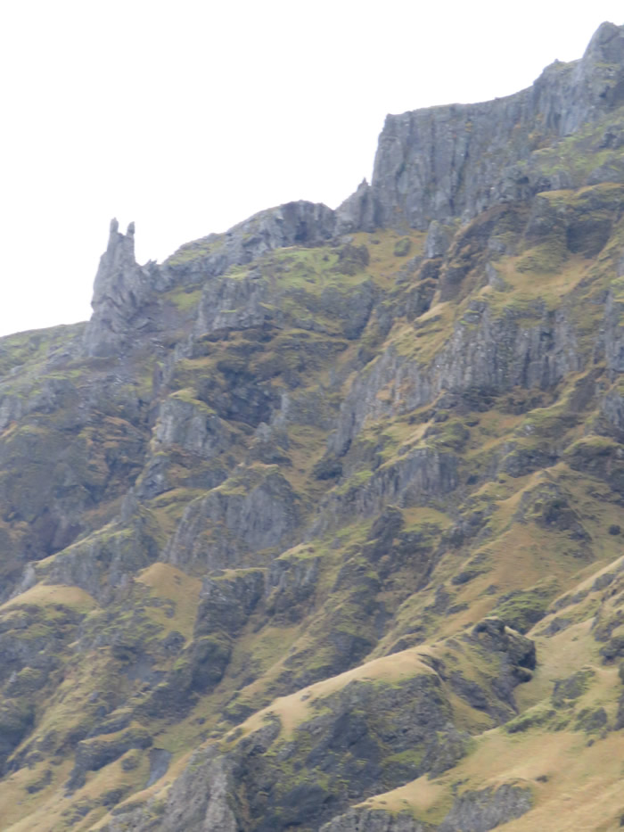
Eyjafjallajökull Glacier.
Heading for Selfoss on route 1 then 38 at Hveragerði and 427 to Grindavík.
Link to Selfoss http://www.south.is/en/inspiration/towns/selfoss
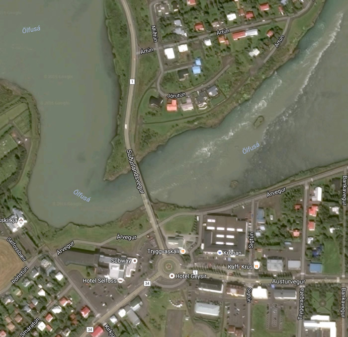
Selfoss is a town in southern Iceland on the banks of the Ölfusá river.
It is a part of, and the seat, of the municipality of Árborg.
The Icelandic Ring Road runs through the town on its way between Hveragerði and Hella
Ölfusá river
'In the blue rich mountains of virginia on the trail of the lonesome pine'
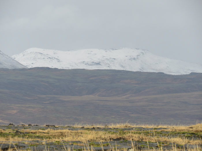
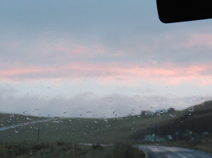
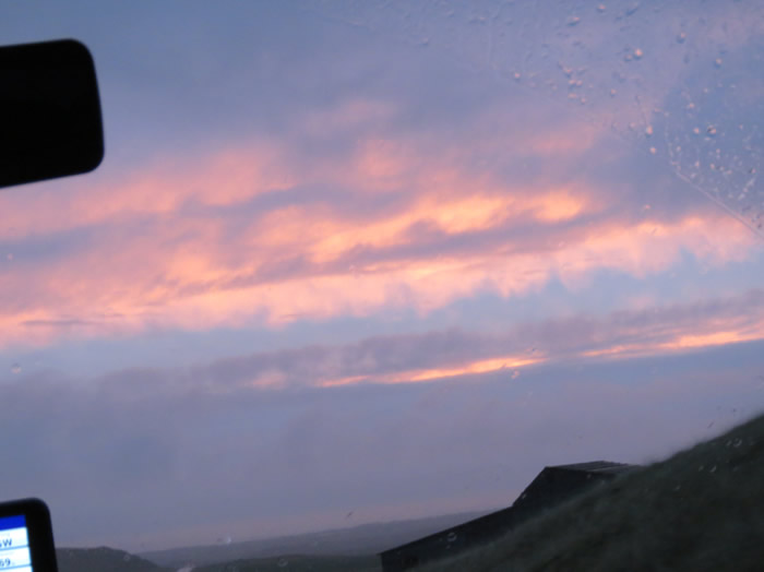
Glacier, some sleet and snow last night.
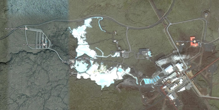
Around the coast road looking for the Blue Lagoon

Sat nav lost it's bearings
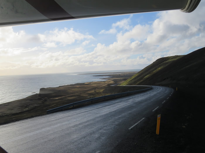
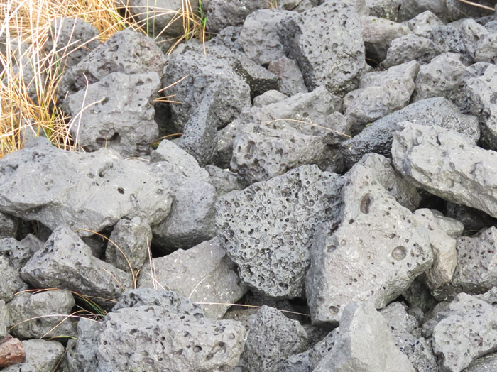
Quarry material used to make the coast road
Grindavík is a fishing town at the Southern Peninsula at the southwest coast of Iceland.
It is one of the few cities with a harbour at this coast.
Most of the inhabitants work in the fishing industry.
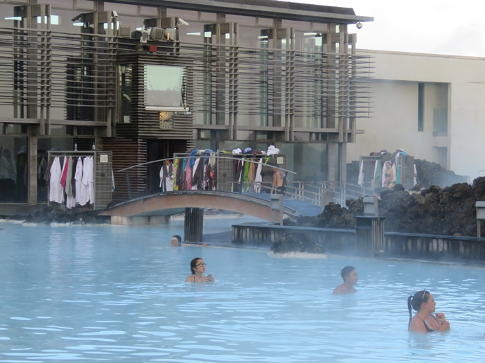
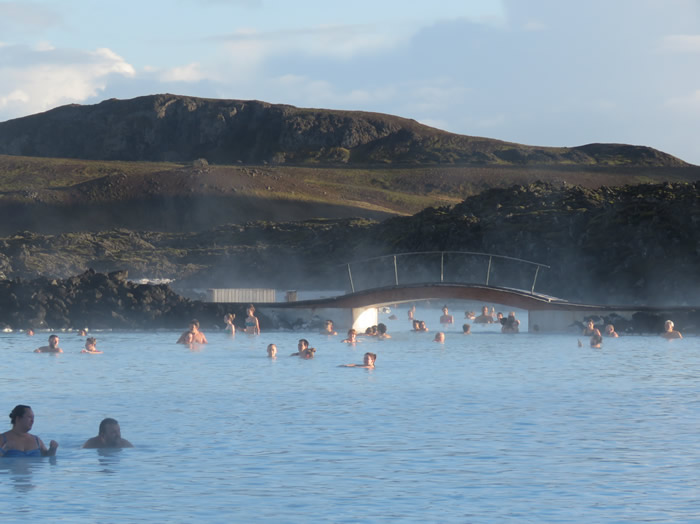
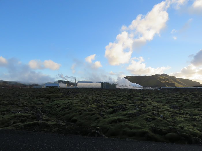
Geo thermal plant on the right heating the pool water.
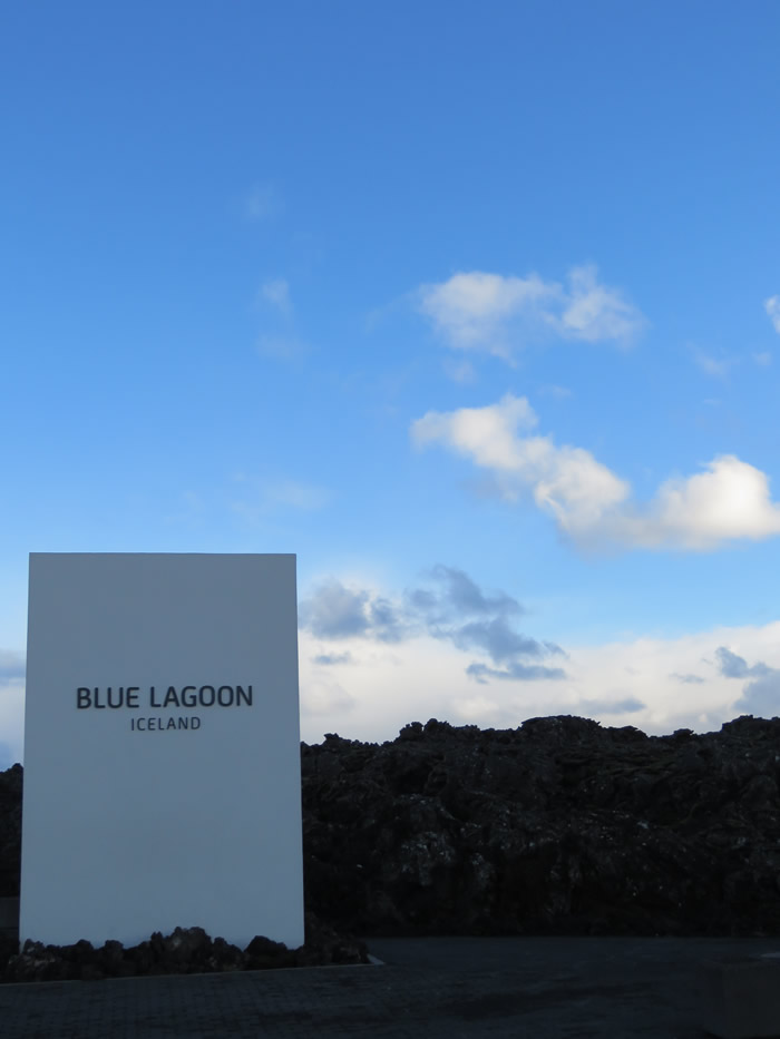
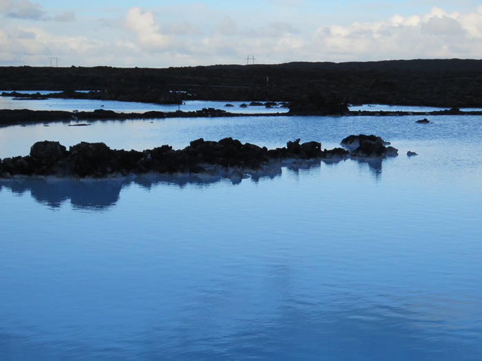
Blue Lagoon entrance
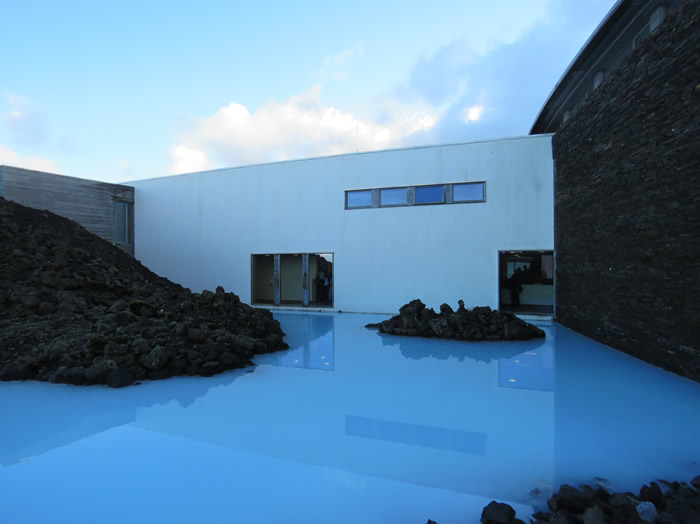
Milky blue water

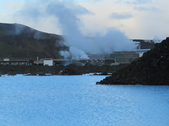
Geo thermal plant supplying heat.
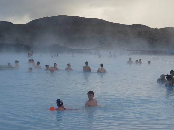
If you need to bathe book in advance.
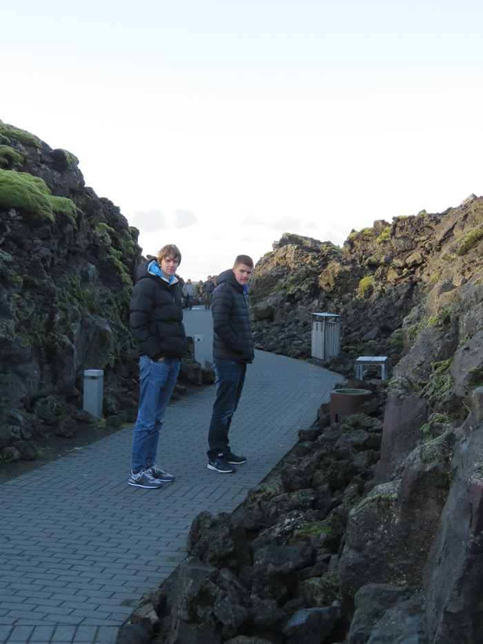
Entrance path carved through the lava.
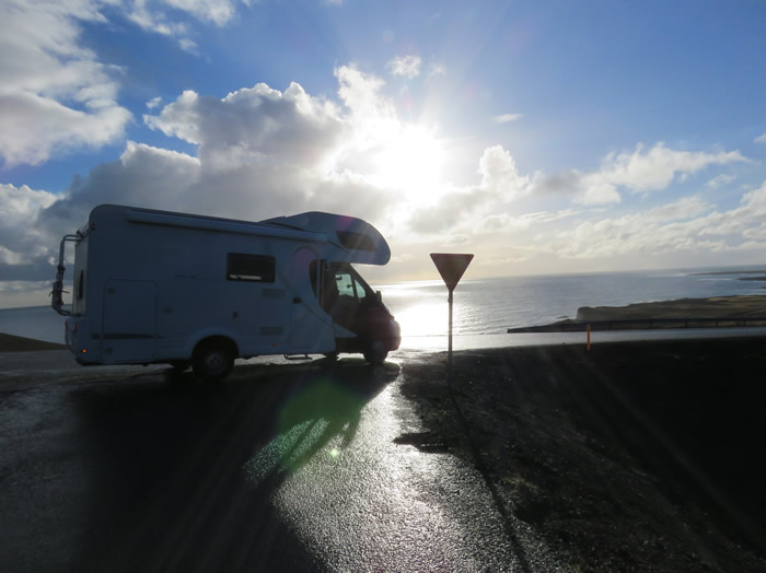
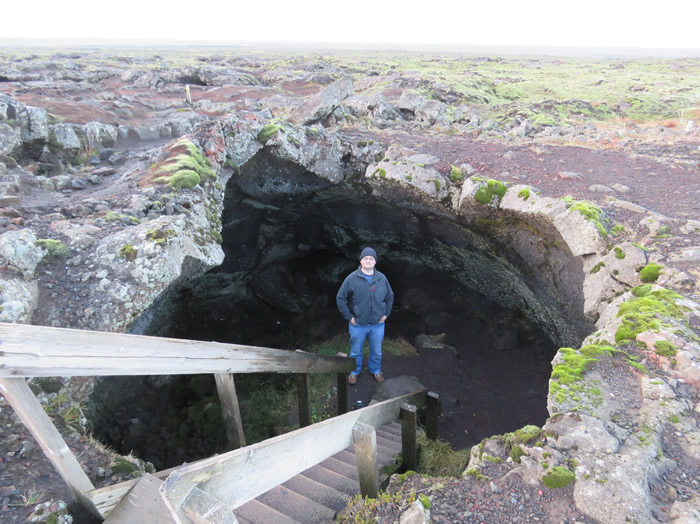
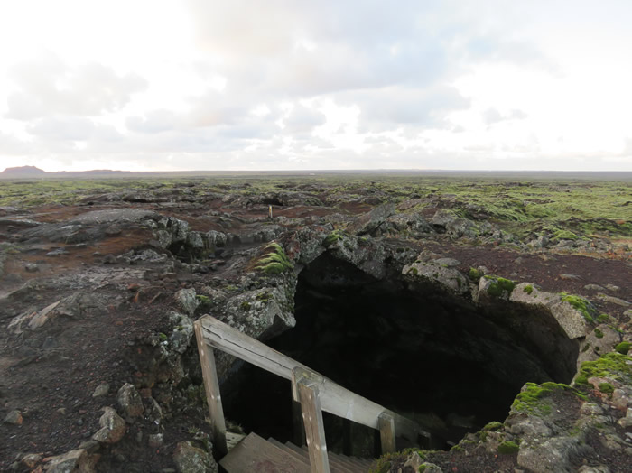
Heading back towards the airport
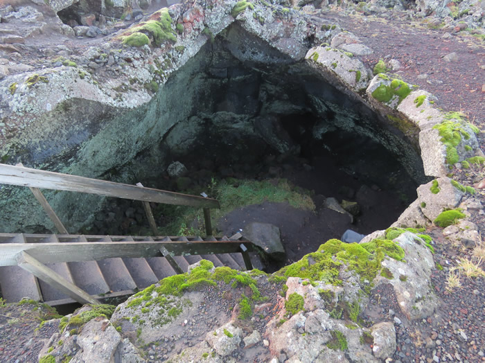
Large void in the lava field.
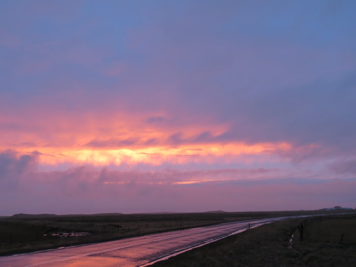
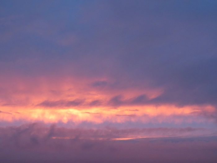
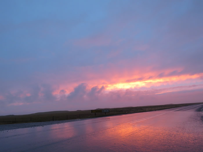
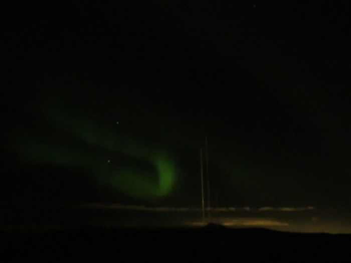
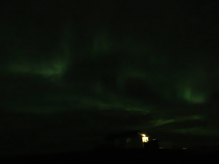
Northern Lights
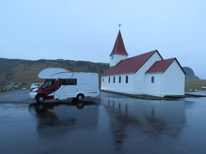
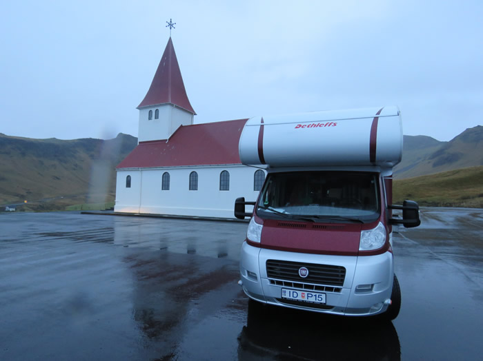
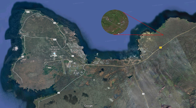
Looking for a secluded spot to park up.
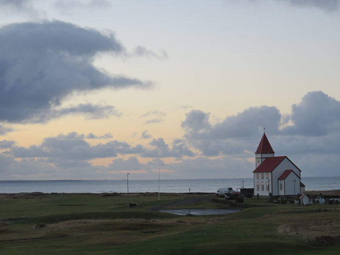
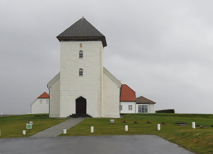
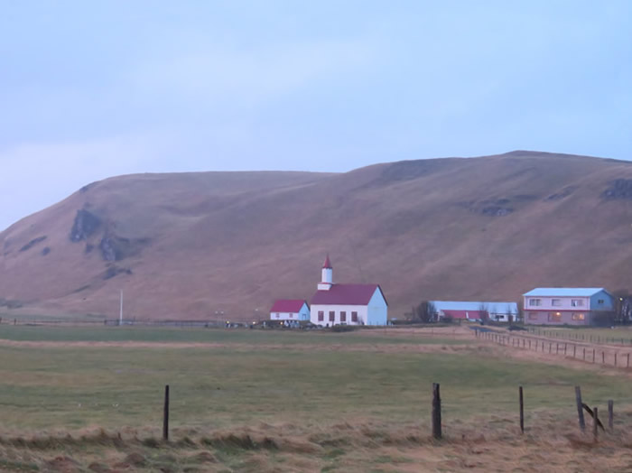
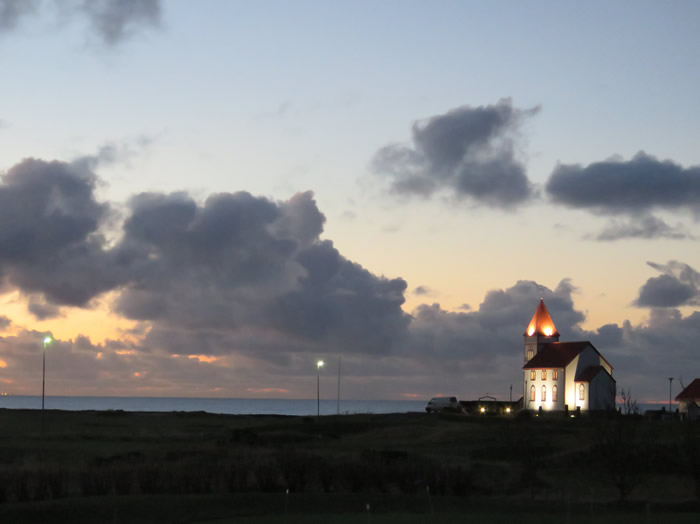
Church next to golf course where we parked up to see the Northern Lights
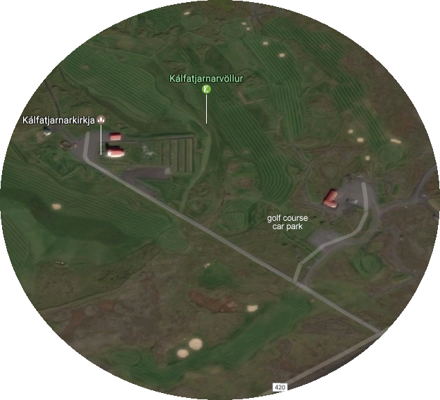
Kálfatjarnarkirkja the church at Kálfatjörn a former farm, parsonage and church site in the town of Vogar.
It was a parsonage until 1907 when the parish was united with the Garðar parish of the Kjalarnes deanery.
During Catholic times, the church was dedicated to St. Peter.
The present church was built in 1891 and is Iceland´s largest rural church.
Now preserved, its interior has been restored to its original form.
The altarpiece, a replica of the one in the Reykjavík Catherdral, painted by Sigurður Guðmundsson, is equally old as the church.
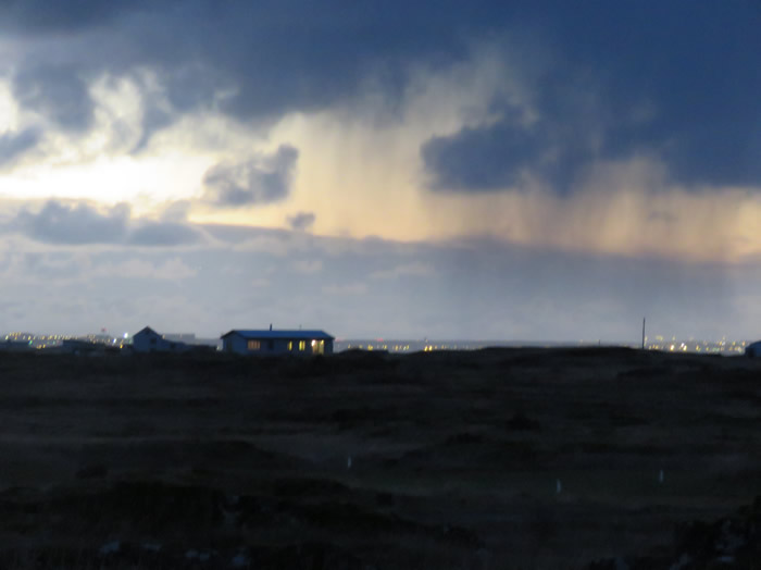
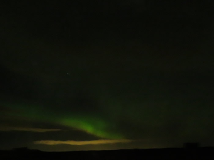
Some sort of activity in the sky.
Thinking we had found a secluded spot, we were joined by several Northern lights tour buses at around 21:00hrs
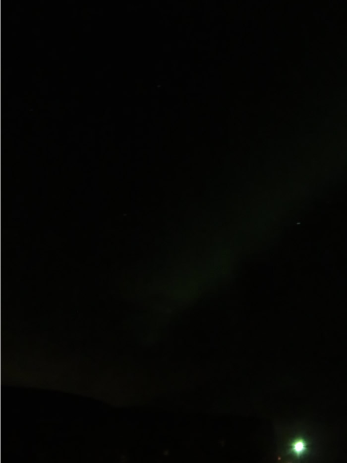
Green hue's appearing.
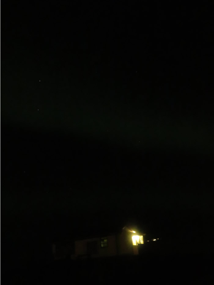
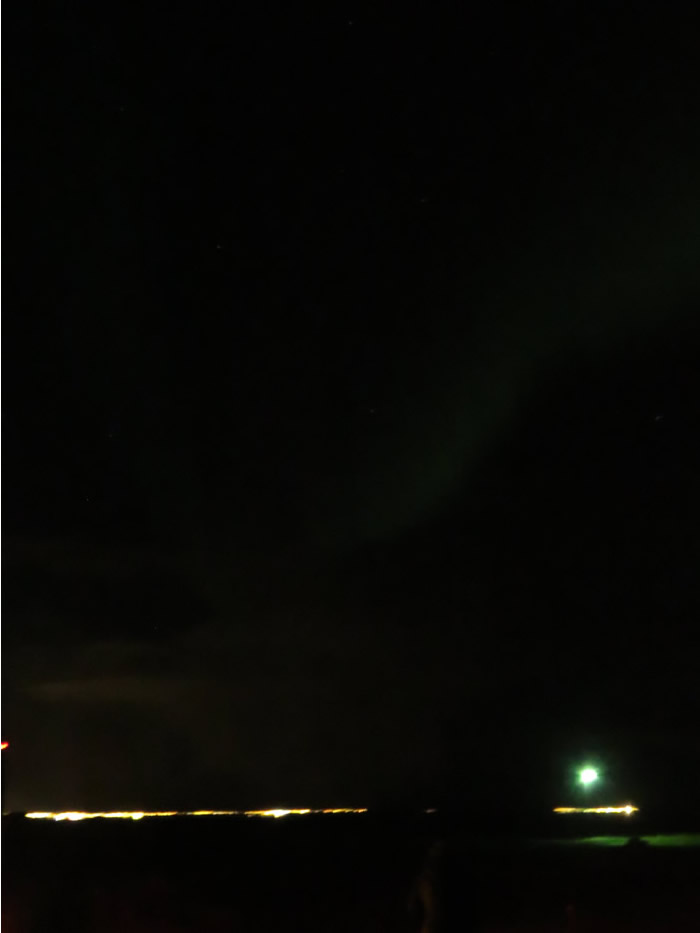
Getting cold now, starting to freeze.
Lights starting to dance.
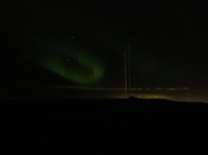
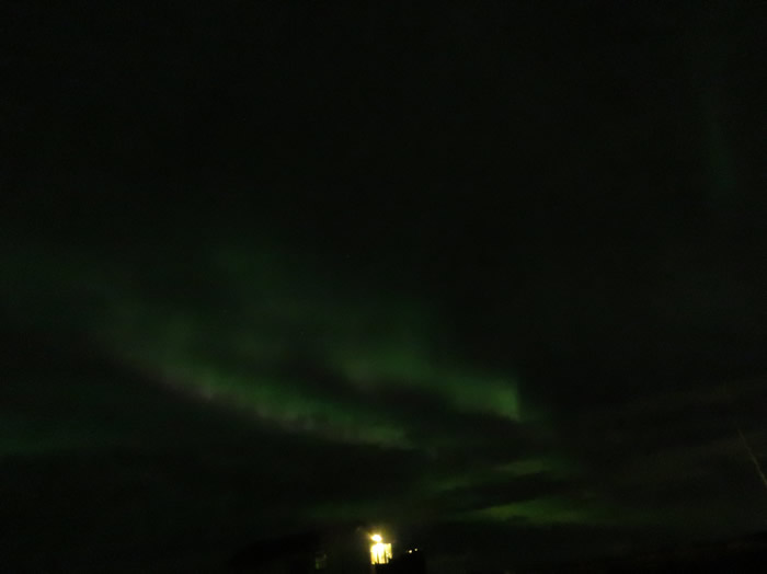
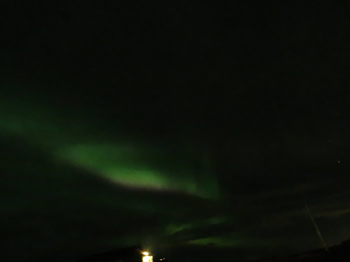
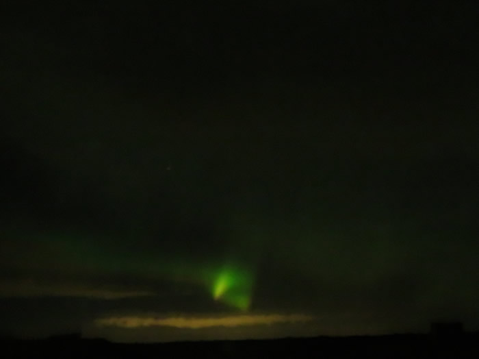
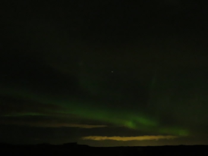
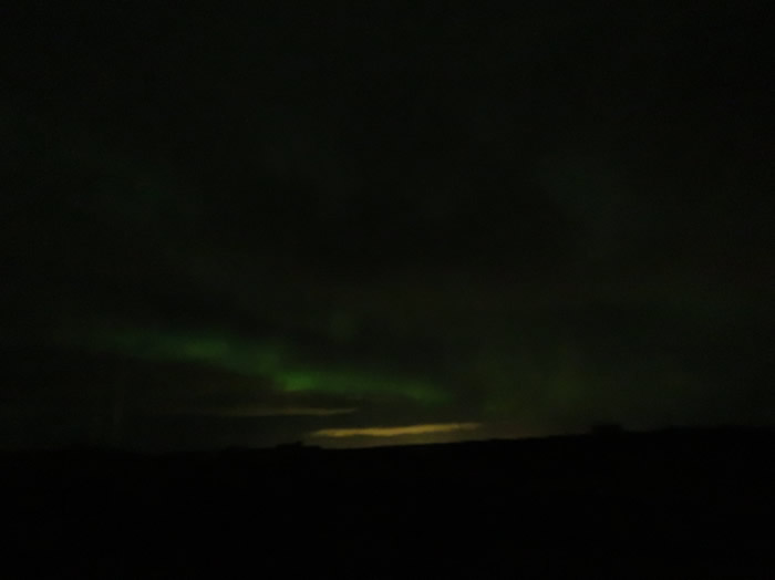
Really active around 02:00 said the wife (I was in bed)
Gas ran out about 04:00 so we fired up the van, de-iced the screen and headed towards the airport to catch our 06:30 flight home.
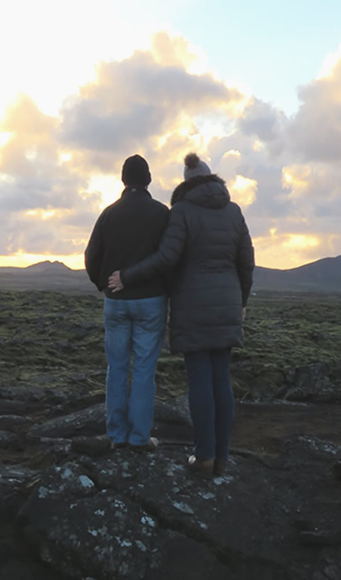
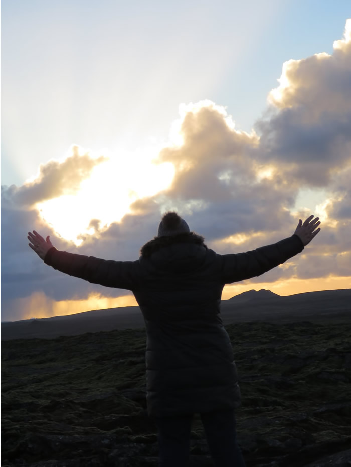
Will we ever get back to planet Earth ?
Iceland a different country, seemed like a different planet in places.